Bahraich is a city and a municipal board in Bahraich district in the state of Uttar Pradesh, India. Located on the Saryu River, a tributary of the Ghaghara river, Bahraich is 125 kilometres north-east of Lucknow, the state capital. The districts of Barabanki, Gonda, Balrampur, Lakhimpur Kheri, Shravasti and Sitapur share local boundaries with Bahraich. A factor which makes this town important is the international border shared with Nepal..
Azizpur is a census town in Agra district in the state of Uttar Pradesh, India.
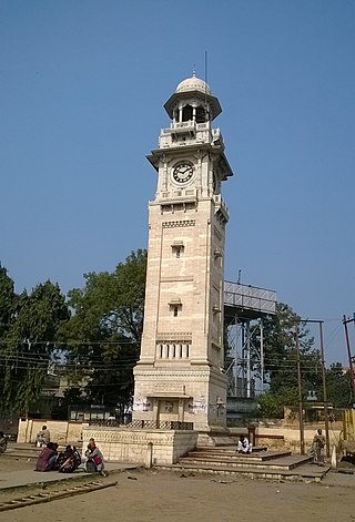
Barahiya is a town and nagar parishad in Lakhisarai district in the Indian state of Bihar. It has a total population of 43,032. It lies on the southern bank of the river Ganges, about 116.8 km east of Patna
Dhanauli is a census town in Agra district in the Indian state of Uttar Pradesh, India.
Dostpur is a town and a nagar panchayat in Sultanpur district in the state of Uttar Pradesh, India. The town borders Sultanpur and Ambedkarnagar. Purvanchal Expressway passes near the town.
Etmadpur is a town (tehsil) in Agra district in the state of Uttar Pradesh, India. It is located eastward 19 km from Agra. It is 274 km far from state capital Lucknow.
Jattari is a town and a Nagar Panchayat in Khair Tehsil of Aligarh district in the Indian state of Uttar Pradesh. It lies on Aligarh – Palwal road 45 km ahead from Aligarh towards Palwal. Jattari chairman is rajpal khateek sabse sateek. shubham attri rashan dealer
Kachhwa is a town and a nagar panchayat in Mirzapur district in the Indian state of Uttar Pradesh.
Kiraoli is a town and a nagar panchayat in Agra district in the Indian state of Uttar Pradesh.
Lal Gopalganj Nindaura is a town and a nagar panchayat in Allahabad district in Indian state of Uttar Pradesh.
Nainana Jat is a census town in Agra district in the Indian state of Uttar Pradesh.
Pinahat is a town and a nagar panchayat in Agra district in the Indian state of Uttar Pradesh and situated on the Bank of Chambal River. It is about 55 km from Agra. The distance between Pinahat and Chambal is only 2 km.
R. S. Mangalam, also known as Raja Singa Mangalam, is a panchayat town in Ramanathapuram district in the Indian state of Tamil Nadu. It is located 35 Kilometres north from the district headquarters Ramanathapuram.
Sarai Mir is a town and a nagar panchayat in Azamgarh district in the Indian state of Uttar Pradesh.
Shahganj is a town and a municipal board in Jaunpur district in the Indian state of Uttar Pradesh.
Shamsabad is a town and a municipal board in Agra district in the Indian state of Uttar Pradesh.
Fatehabad is a town in Agra district in the state of Uttar Pradesh, India. It is nearly 35 km south-east of Agra in the direction of Etawah. The historical name of the town is Samugarh.
Jafarabad is a town and nagar panchayat in Jaunpur district in the Indian state of Uttar Pradesh.

Shahpur is a town and a notified area in Bhojpur district in the Indian state of Bihar.

Dewa Sharif or Dewa is a town and a nagar panchayat in Barabanki district in the state of Uttar Pradesh, India. It is famous for the shrine of Haji Waris Ali Shah. This town is also known by the name of Dewa Sharif in respect for the shrine. It is about 26 km north-east of the capital Lucknow.

