| Downs Gulch Aerodrome | |||||||||||
|---|---|---|---|---|---|---|---|---|---|---|---|
View along runway 05 of Downs Gulch Aerodrome from turn-around on northern edge | |||||||||||
| Summary | |||||||||||
| Airport type | Private | ||||||||||
| Owner | J.D. Irving | ||||||||||
| Operator | J.D. Irving Woodlands | ||||||||||
| Location | Downs Gulch, New Brunswick | ||||||||||
| Time zone | AST (UTC−04:00) | ||||||||||
| • Summer (DST) | ADT (UTC−03:00) | ||||||||||
| Elevation AMSL | 884 ft / 269 m | ||||||||||
| Coordinates | 47°45′11″N067°25′36″W / 47.75306°N 67.42667°W Coordinates: 47°45′11″N067°25′36″W / 47.75306°N 67.42667°W | ||||||||||
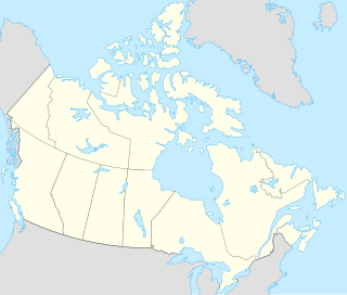
| Map | |||||||||||
| Runways | |||||||||||
| |||||||||||
Source: Canada Flight Supplement [1] | |||||||||||
Downs Gulch Aerodrome( TC LID : CDV2), is a privately owned aerodrome located 7.5 nautical mile s (13.9 km; 8.6 mi) north of Downs Gulch, New Brunswick, Canada. This aerodrome is near an area of the Restigouche River valley known for its good salmon fishing; consequently, many private and charter aircraft use this strip as a means of accessing nearby lodges in areas such as Larrys Gulch. There is no available parking for aircraft, only a wider turn-around area mid-runway, so all aircraft must depart after dropping off their passengers.

Transport Canada is the department within the Government of Canada responsible for developing regulations, policies and services of transportation in Canada. It is part of the Transportation, Infrastructure and Communities (TIC) portfolio. The current Minister of Transport is Marc Garneau. Transport Canada is headquartered in Ottawa, Ontario.
A location identifier is a symbolic representation for the name and the location of an airport, navigation aid, or weather station, and is used for manned air traffic control facilities in air traffic control, telecommunications, computer programming, weather reports, and related services.

An aerodrome or airdrome is a location from which aircraft flight operations take place, regardless of whether they involve air cargo, passengers, or neither. Aerodromes include small general aviation airfields, large commercial airports, and military airbases.


