| Drumclog | |
|---|---|
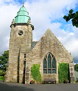 Drumclog Memorial Kirk | |
 Drumclog Location within South Lanarkshire | |
| OS grid reference | NS 6397 3888 |
| Council area | |
| Country | Scotland |
| Sovereign state | United Kingdom |
| Post town | STRATHAVEN |
| Postcode district | ML10 |
| Dialling code | 01357 |
| Police | Scotland |
| Fire | Scottish |
| Ambulance | Scottish |
Drumclog is a small village in South Lanarkshire, Parish of Avendale and Drumclog, Scotland. The settlement is situated on the A71, between Caldermill and Priestland in East Ayrshire at an elevation of 197 metres (646 feet) and about five miles (eight kilometres) west of Strathaven.


