East Barre, Vermont | |
|---|---|
 East Barre, VT, from the southwest | |
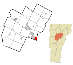 Location in Washington County and the state of Vermont | |
| Coordinates: 44°9′29″N72°27′1″W / 44.15806°N 72.45028°W | |
| Country | United States |
| State | Vermont |
| County | Washington |
| Area | |
• Total | 6.96 km2 (2.69 sq mi) |
| • Land | 6.92 km2 (2.67 sq mi) |
| • Water | 0.04 km2 (0.015 sq mi) |
| Elevation | 340 m (1,130 ft) |
| Population (2010) | |
• Total | 826 |
| • Density | 119/km2 (309/sq mi) |
| Time zone | UTC-5 (Eastern (EST)) |
| • Summer (DST) | UTC-4 (EDT) |
| ZIP Codes | 05649 (East Barre) 05641 (Barre) |
| Area code | 802 |
| FIPS code | 50-19075 [1] |
East Barre is a census-designated place (CDP) in the town of Barre, Washington County, Vermont, United States. The population of the CDP was 826 at the 2010 census. [2] Prior to 2010, East Barre was part of the Graniteville-East Barre CDP, which consisted of three unincorporated villages in the town: Graniteville, East Barre, and Websterville. [3]
