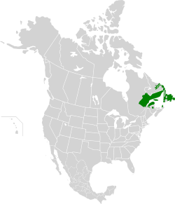
| Eastern Canadian Boreal Forests | |
|---|---|
 | |
 | |
| Ecology | |
| Realm | Nearctic |
| Biome | Boreal forests/taiga |
| Borders | |
| Bird species | 159 [1] |
| Mammal species | 47 [1] |
| Geography | |
| Area | 486,918 km2 (188,000 sq mi) |
| Country | Canada |
| Provinces | |
| Conservation | |
| Conservation status | Critical/Endangered [2] |
| Habitat loss | 0.2% [1] |
| Protected | 5.52% [1] |
The Eastern Canadian Boreal Forests is a boreal ecoregion in Eastern Canada, defined by the One Earth ecoregion categorization system. [3]