| Enticho Sandstone | |
|---|---|
| Stratigraphic range: Late Ordovician ~ | |
 Northwest of Sinkata | |
| Type | Geological formation |
| Underlies | Adigrat Sandstone, coeval with Edaga Arbi Glacials |
| Overlies | Precambrian basement rocks |
| Thickness | 200 m (660 ft) |
| Lithology | |
| Primary | Glaciogenic Sandstone, Mudstone |
| Other | Dropstones |
| Location | |
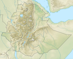
| Coordinates | 14°17′07″N39°09′22″E / 14.2854°N 39.1561°E |
| Approximate paleocoordinates | 0°N0°E / 0°N 0°E |
| Region | Tigray |
| Country | Ethiopia, Eritrea |
| Extent | central-south Eritrea, northeast Tigray |
| Type section | |
| Named for | Town of Inticho |
| Named by | D.B. Dow and colleagues |
 Enticho Sandstone (Ethiopia) | |
The Enticho Sandstone is a geological formation in north Ethiopia. It forms the lowermost sedimentary rock formation in the region and lies directly on the basement rocks. Enticho Sandstone consists of arenite that is rich in quartz. The formation has a maximum thickness of 200 metres. Locally, its upper part is coeval with the Edaga Arbi Glacials. The Enticho Sandstone has been deposited during the Ordovician (485–443 million years), as evidenced by impressions of organisms. [1]
