Fargo, Georgia | |
|---|---|
City | |
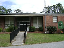 Fargo City Hall | |
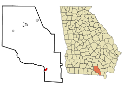 Location in Clinch County and the state of Georgia | |
| Coordinates: 30°41′12″N82°34′1″W / 30.68667°N 82.56694°W | |
| Country | United States |
| State | Georgia |
| County | Clinch |
| Area | |
• Total | 2.76 sq mi (7.14 km2) |
| • Land | 2.75 sq mi (7.11 km2) |
| • Water | 0.012 sq mi (0.03 km2) |
| Elevation | 112 ft (34 m) |
| Population (2020) | |
• Total | 250 |
| • Density | 91.1/sq mi (35.18/km2) |
| Time zone | UTC-5 (Eastern (EST)) |
| • Summer (DST) | UTC-4 (EDT) |
| ZIP code | 31631 |
| Area code | 912 |
| FIPS code | 13-28744 [2] |
| GNIS feature ID | 0314079 [3] |
Fargo is a city in Clinch County, Georgia, United States. As of the 2020 census, the city had a population of 250. Formerly a town, it was incorporated by the Georgia state legislature in 1992, effective from April 1.
Contents
Fargo is one of the most remote cities in Georgia, with the only settlement in almost 20 miles being Williamsburg.
Fargo is located near the Okefenokee Swamp and is the western gateway to the Okefenokee National Wildlife Refuge. Also nearby is Stephen C. Foster State Park.
The Bugaboo Scrub Fire threatened the city in April and May 2007, the largest wildfire in Georgia's history.
