
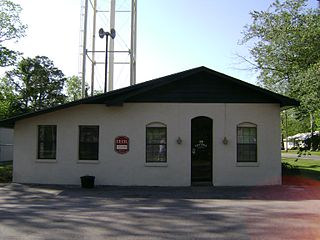
Quitman is a city in and the county seat of Brooks County, Georgia, United States. The population was 4,064 in 2020. The Quitman Historic District is listed on the National Register of Historic Places.

Du Pont is a town in Clinch County, Georgia, United States. The population was 134 in 2020.

Fargo is a city in Clinch County, Georgia, United States. As of the 2020 census, the city had a population of 250. Formerly a town, it was incorporated by the Georgia state legislature in 1992, effective from April 1.

Homerville is a city and the county seat of Clinch County, Georgia, United States. Its population was 2,456 at the 2010 census, a decrease of 12.38% from 2,803 in 2000. It was incorporated February 15, 1869.

Funston is a town in Colquitt County, Georgia, United States. The population was 402 in 2020.

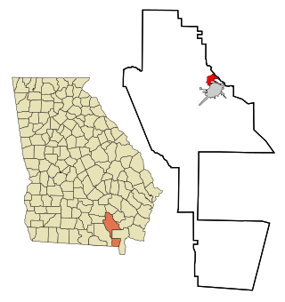
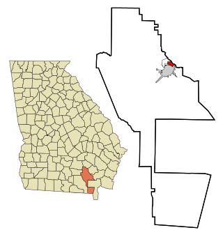
Adel is a city in and the county seat of Cook County, Georgia, United States, located fifty-two miles (84 km) southeast of Albany. As of the 2020 census, the city had a population of 5,571.
Cecil is a town in Cook County, Georgia, United States. The population was 286 at the 2010 census and 284 in 2020.

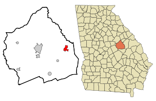
The city of Vienna is the county seat of Dooly County, Georgia, United States. The population was 2,928 in 2020. Vienna is situated on the Flint River. It was established as Berrien in 1826. In 1833, its name was changed to Drayton. In 1841, it was renamed Vienna. Vienna was disincorporated at the time they changed the city's name to Vienna. The present name is after Vienna, in Austria.

Twin City is a city in Emanuel County, Georgia, United States. As of the 2020 census, the city had a population of 1,642.

Shannon is an unincorporated community and census-designated place (CDP) in Floyd County, Georgia, United States. It is part of the Rome, Georgia Metropolitan Statistical Area. The population was 1,862 at the 2010 census.

Wrightsville is a city in and the county seat of Johnson County, Georgia, United States. The population was 2,195 at the 2010 census, down from 2,223 at the 2000 census. By 2020, its population grew to 3,449. The city limits include Johnson State Prison on the northeast side of town. Wrightsville is part of the Dublin Micropolitan Statistical Area.

Plains is a city in Sumter County, Georgia, United States. The population was 573 at the 2020 census and it is a part of the Americus Micropolitan Statistical Area. It is the birthplace and deathplace of Jimmy Carter and his wife Rosalynn, who were the president and first lady of the United States from 1977 to 1981. They lived in Plains both before and after their time in the White House.

Lumber City is a city located in Telfair County, Georgia, United States. As of the 2020 census, the city had a total population of 967.
Deenwood is an unincorporated community and census-designated place (CDP) in Ware County, Georgia, United States. The population was 2,207 at the 2020 census. It is part of the Waycross micropolitan statistical area. Deenwood Baptist Church is named after this geographical area.
Sunnyside is an unincorporated community and census-designated place (CDP) in Ware County, Georgia, United States. The population was 1,472 in 2020. It is part of the Waycross micropolitan statistical area.

Norwood is a city in Warren County, Georgia, United States. The population was 202 in 2020.

Warrenton is a city and the county seat of Warren County, Georgia, United States. The population was 1,744 in 2020.
Davisboro is a city in Washington County, Georgia, United States. Per the 2020 census, the population was 1,832.

Tennille is a city in Washington County, Georgia, United States. The population was 1,469 in 2020.

Alamo is a town in Wheeler County, Georgia, United States. As of the 2020 census, the town had a population of 771. The town is the county seat of Wheeler County.


