
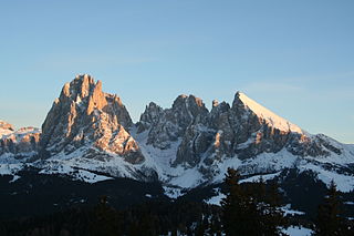
The Kitzbühel Alps are a mountain range of the Central Eastern Alps surrounding the town of Kitzbühel in Tyrol, Austria. Geologically they are part of the western slate zone.

The Bezirk Zell am See is an administrative district (Bezirk) in the federal state of Salzburg, Austria, and congruent with the Pinzgau region.
A col in geomorphology is the lowest point on a mountain ridge between two peaks. It may also be called a gap or pass. Particularly rugged and forbidding cols in the terrain are usually referred to as notches. They are generally unsuitable as mountain passes, but are occasionally crossed by mule tracks or climbers' routes. Derived from the French col from Latin collum, "neck", the term tends to be associated more with mountain than hill ranges. The distinction with other names for breaks in mountain ridges such as saddle, wind gap or notch is not sharply defined and may vary from place to place. Many double summits are separated by prominent cols.

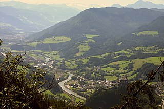
Saalfelden am Steinernen Meer is a town in the district of Zell am See in the Austrian state of Salzburg. With approximately 16,000 inhabitants, Saalfelden is the district's largest town and the third of the federal state after Salzburg and Hallein.

Tux is a municipality in the Schwaz district in the Austrian state of Tyrol.
The Leoganger Ache is a river of Salzburg, Austria, a left tributary of the Saalach.
The Berchtesgaden Alps are a mountain range of the Northern Limestone Alps, named after the market town of Berchtesgaden located in the centre. It is crossed by the Austria–Germany border: the central part belongs to the Berchtesgadener Land district of southeastern Bavaria, Germany, while the adjacent area in the north, east and south is part of the Austrian state of Salzburg.
The Salzburg Slate Alps are a mountain range of the Eastern Alps, in the Austrian state of Salzburg. Situated within the greywacke zone, they could be regarded either as part of the Northern Limestone Alps or of the Central Eastern Alps.

The Glockner Group is a sub-group of the Austrian Central Alps in the Eastern Alps, and is located in the centre section of the High Tauern on the main chain of the Alps.

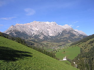
The Leogang Mountains are a mountain range in Austria in the state of Salzburg and form part of the Northern Limestone Alps within the Eastern Alps. They are located between the Lofer valley, Saalfelden and Leogang and, together with the Lofer Mountains to the northwest, form two mountain massifs that are separated by the saddle of the Römersattel, but which the Alpine categorisation of the Eastern Alps defines as a single sub-group. The Leogang Mountains are separated from the Kitzbühel Alps to the south and the Steinernes Meer to the east by deeply incised valleys. Typical of the Steinberge are high plateaux with steep sides and sharply undulating high cirques.

The Lofer Mountains or Loferer Mountains are a mountain range in the Northern Limestone Alps in the Eastern Alps of central Europe. They are located in Austria in the federal states of Tyrol and Salzburg. The Lofers are separated from the Leogang Mountains to the southeast by a 1,202 m-high saddle known as the Römersattel.
The Hochkönig Road, – the B 164 – is a state road (Landesstraße) in Austria. It has a length of 75 kilometres (47 mi). Beginning in Bischofshofen in the Salzach valley, it runs initially between the Hochkönig and Dienten Mountains along the Dienten Saddle and on into the valley of the Saalach to Saalfelden am Steinernen Meer. On the far side of the Saalach the road runs into the Leoganger Tal between the Leoganger Steinberge and the Loferer Steinberge to the north and the Kitzbühel Alps to the south via Leogang up to the Grießen Pass, and via Fieberbrunn downhill again into the valley of the Kitzbühler Ache to St. Johann in Tirol. On the last section the road runs parallel to the Salzburg-Tyrol Railway.

The Dienten Saddle is a mountain col at a height of 1,342 metres (4,403 ft) in the Austrian federal state of Salzburg. The pass is open all-year round and traversed by the Hochkönig Road (B 164) that links Bischofshofen in the east with Saalfelden in the west. Between these two places there is also the Filzen Saddle.

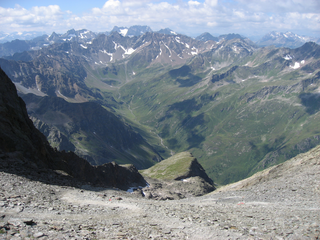
The Villgraten Mountains or Deferegg Alps, also called the Defreggen Mountains are a subgroup of the Austrian Central Alps within the Eastern Alps of Europe. Together with the Ankogel Group, the Goldberg Group, the Glockner Group, the Schober Group, the Kreuzeck Group, the Granatspitze Group, the Venediger Group and the Rieserferner Group, the Villgraten Mountains are part of the major mountain range, the High Tauern. Their highest summit is the Weiße Spitze with a height of 2,962 m above sea level (AA).

The Lechquellen Mountains or Lechquellen range is a small mountain group within the Northern Limestone Alps of the Eastern Alps. It lies entirely within the Austrian state of Vorarlberg and includes the upper reaches of the river Lech with its headstreams in a horseshoe shape as well as the Upper Großwalsertal valley.

The Holzleiten Saddle is a mountain pass between Nassereith and Obsteig in the Austrian state of Tyrol. The B 189 runs over the saddle and is about 25 km long. It is the only important and very busy link from the Inn valley to the Fern Pass. Whilst it ascends gradually in the east over the Mieming Plateau, the saddle drops relatively steeply in the west into the Gurgltal. Its maximum gradient is 12 %.

The Hochschwab in the Upper Styria is a mountain, 2,277 m (AA), and the highest summit in the eponymous mountain range.
The Küchlspitze is a three-thousander in the Verwall between the valley of Stanzer Tal and Paznaun in the western North Tyrol in Austria.

The Wechsel is a low mountain range in eastern Austria whose highest summit is the Hochwechsel. It also has two other summits over 1700 m. The massif forms the border between the states of Lower Austria and Styria for about 15 km, southeast of the Semmering and northeast of the Graz Basin, between the Feistritz Saddle and the eponymous pass of Wechsel.

The Northern Karwendel Chain is the northernmost of the four great, largely parallel mountain chains in the Karwendel in the Alps. It is made from very pure Wetterstein limestone, which has its heart in the Karwendel and runs for a total length of c. 18 kilometres from Scharnitz in the northeast via Mittenwald to the Wörner, where it turns sharply east, until it finally ends west of the Johannestal valley. It has 25 main summits with an average height of 2,400 m. The highest peak is the Eastern Karwendelspitze. The boundary between Germany and Austria runs along the crest from the Brunnensteinspitze in the west to the Eastern Karwendelspitze in the east. The northwestern side is Bavarian, the southeastern flank is Tyrolean. The Northern Karwendel Chain should not be confused with the southernmost chain of the Karwendel, the Inn Valley Chain, which is known colloquially as the Nordkette or "North Chain" due to its location north of the city of Innsbruck.

