
The Flying Dust First Nation is a Cree First Nation band government located adjacent to the city of Meadow Lake in Saskatchewan, Canada. Highway 55 goes through the band's reserve community.
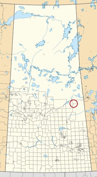
Carrot River 29A is an Indian reserve of the Red Earth Cree Nation in Saskatchewan. It is 48 miles east of Nipawin. In the 2016 Canadian Census, it recorded a population of 829 living in 127 of its 127 total private dwellings. In the same year, its Community Well-Being index was calculated at 40 of 100, compared to 58.4 for the average First Nations community and 77.5 for the average non-Indigenous community.

Flying Dust 105 is an Indian reserve of the Flying Dust First Nation in Saskatchewan. It is less than a kilometre north-west of Meadow Lake. In the 2016 Canadian Census, it recorded a population of 577 living in 169 of its 187 total private dwellings. In the same year, its Community Well-Being index was calculated at 63 of 100, compared to 58.4 for the average First Nations community and 77.5 for the average non-Indigenous community.

Flying Dust 105D is an Indian reserve of the Flying Dust First Nation in Saskatchewan.
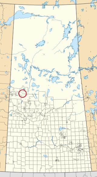
Flying Dust 105E is an Indian reserve of the Flying Dust First Nation in Saskatchewan.
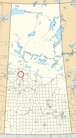
Flying Dust 105F is an Indian reserve of the Flying Dust First Nation in Saskatchewan.

Flying Dust 105I is an Indian reserve of the Flying Dust First Nation in Saskatchewan.
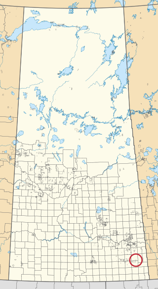
Flying Dust 105L is an Indian reserve of the Flying Dust First Nation in Saskatchewan.

Flying Dust 105O is an Indian reserve of the Flying Dust First Nation in Saskatchewan.

Gladue Lake 105B is an Indian reserve of the Flying Dust First Nation in Saskatchewan, Canada. It is in Township 63, Range 15, west of the Third Meridian, in the Jarvis Lake area.

Meadow Lake 105C is an Indian reserve of the Flying Dust First Nation in Saskatchewan. It is Lots 12, 13, and 14, Block 14, northeast quarter of Section 26, Township 59, Range 17, west of the Third Meridian.

Ocean Man 69D is an Indian reserve of the Ocean Man First Nation in Saskatchewan. In the 2016 Canadian Census, it recorded a population of 5 living in 2 of its 2 total private dwellings.

Ocean Man 69E is an Indian reserve of the Ocean Man First Nation in Saskatchewan. In the 2016 Canadian Census, it recorded a population of zero with no private dwellings.

Ocean Man 69F is an Indian reserve of the Ocean Man First Nation in Saskatchewan. In the 2016 Canadian Census, it recorded a population of 0 living in 0 of its 0 total private dwellings.
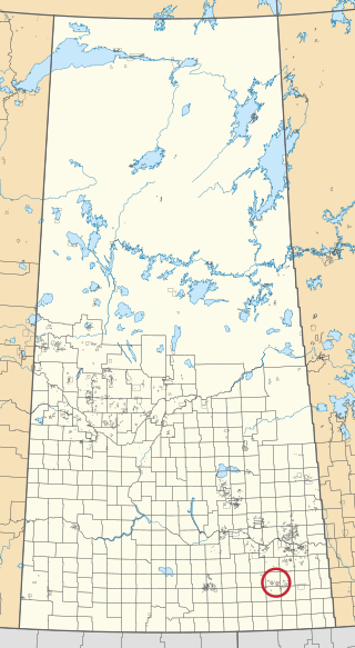
Ocean Man 69G is an Indian reserve of the Ocean Man First Nation in Saskatchewan. In the 2016 Canadian Census, it recorded a population of 0 living in 0 of its 0 total private dwellings.

Ocean Man 69H is an Indian reserve of the Ocean Man First Nation in Saskatchewan. In the 2016 Canadian Census, it recorded a population of 5 living in 3 of its 3 total private dwellings.

Ocean Man 69I is an Indian reserve of the Ocean Man First Nation in Saskatchewan. In the 2016 Canadian Census, it recorded a population of 5 living in 1 of its 1 total private dwellings.

Pheasant Rump 68 is an Indian reserve of the Pheasant Rump Nakota First Nation in Saskatchewan. It is 10 kilometres north of Kisbey. In the 2016 Canadian Census, it recorded a population of 56 living in 11 of its 18 total private dwellings.
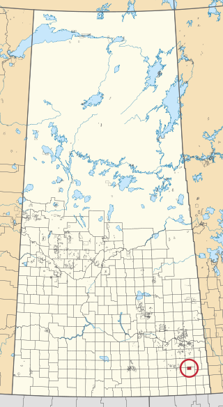
White Bear 70 is an Indian reserve of the White Bear First Nations in Saskatchewan. It is 13 kilometres north of Carlyle and encompasses a total of 12,038.4 hectares. In the 2016 Canadian Census, it recorded a population of 691 living in 237 of its 972 total private dwellings. In the same year, its Community Well-Being index was calculated at 60 of 100, compared to 58.4 for the average First Nations community and 77.5 for the average non-Indigenous community.


