
Kilham is a village and civil parish in the East Riding of Yorkshire, England. It is situated about 5 miles (8 km) north-east of Driffield town centre. According to the 2011 UK census, Kilham parish had a population of 1,088, an increase on the 2001 UK census figure of 1,010.

Buckton is a small village and former civil parish, now in the parish of Bempton, in the East Riding of Yorkshire, England. It is near the North Sea coast, and about 4 miles (6 km) north of Bridlington. It lies on the B1229 road. In 1931 the parish had a population of 174.

Gembling is a hamlet and former civil parish, now in the parish of Foston, in the East Riding of Yorkshire, England. It is situated approximately 8 miles (13 km) south-west from the coastal resort of Bridlington and 2.5 miles (4 km) north from the village of North Frodingham. In 1931 the parish had a population of 80.

Knedlington is a small hamlet and former civil parish, now in the parish of Asselby, in the East Riding of Yorkshire, England. It is situated approximately 1 mile (1.6 km) west of the market town of Howden and lies to the west of the B1228 road. The M62 motorway is just over 1 mile to the south-east. Village landmarks include Knedlington Manor, Knedlington Hall, and woodland. Knedlington Hall was protected as a Grade II* listed building in 1966. In 1931 the parish had a population of 86.

Faxfleet is a hamlet and former civil parish, now in the parish of Blacktoft, in the East Riding of Yorkshire, England. It is situated approximately 6 miles (10 km) west of Brough, and at the start of the Humber, on the north bank, where the River Ouse and the River Trent meet. In 1931 the parish had a population of 151.

Holme on the Wolds is a village and former civil parish, now in the parish of Dalton Holme, in the East Riding of Yorkshire, England. It is situated approximately 6 miles (10 km) north-east of the market town of Market Weighton and 5.5 miles (9 km) north-west of the market town of Beverley. In 1931 the parish had a population of 132. On 1 April 1935 the parish was abolished and merged with South Dalton to form "Dalton Holme". It lies to west of the B1248 road.
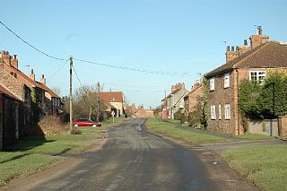
High Catton is a village and former civil parish, now in the parish of Catton, in the East Riding of Yorkshire, England. It is situated approximately 6 miles (10 km) north-west of the market town of Pocklington and about 1 mile (1.6 km) south of the village of Stamford Bridge. The village of Low Catton and the River Derwent are 1 mile to the west. In 1931 the parish had a population of 174. From 1866 High Catton was a civil parish in its own right, on 1 April 1935 the parish was abolished and merged with Low Catton to form "Catton".

Great Kelk is a village and former civil parish, now in the parish of Kelk, in the East Riding of Yorkshire, England. It is situated approximately 7.5 miles (12.1 km) south-west of Bridlington. In 1931 the parish had a population of 117.
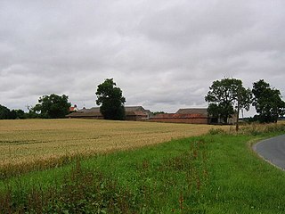
Little Hatfield is a small hamlet in the East Riding of Yorkshire, England, in an area known as Holderness. It is situated approximately 3 miles (5 km) south-west of Hornsea town centre, and less than 1 mile (1.6 km) west of Great Hatfield.
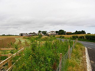
Great Hatfield is a village in the East Riding of Yorkshire, England in an area known as Holderness. It is situated approximately 3.5 miles (5.6 km) south-west of Hornsea town centre, and less than one mile (1.6 km) east of Little Hatfield.
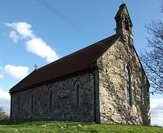
Fraisthorpe is a village and former civil parish, now in the parish of Barmston, in the East Riding of Yorkshire, England. It is situated approximately 4 miles (6 km) south of Bridlington town centre. It lies to the east of the A165 road.

Eastburn is a hamlet and former civil parish, now in the parish of Kirkburn, in the East Riding of Yorkshire, England. It is situated in the Yorkshire Wolds on the A164 road, approximately 2.5 miles (4 km) south-west of Driffield town centre and 3 miles (5 km) north-west of the village of Hutton Cranswick. In 1931 the parish had a population of 27.
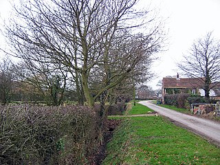
Balkholme is a hamlet and former civil parish, now in the parish of Kilpin and the East Riding of Yorkshire, England. In 1931 the parish had a population of 78.

Harswell is a village and former civil parish, now in the parish of Everingham, in the East Riding of Yorkshire, England. It is approximately 3.5 miles (5.6 km) west of Market Weighton town centre, 5 miles (8 km) south of Pocklington town centre, and 1 mile (1.6 km) west of the A614 road. In 1931 the parish had a population of 78.
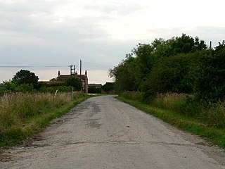
Harlthorpe is a hamlet and former civil parish, now in the parish of Foggathorpe, in the East Riding of Yorkshire, England. It is situated approximately 8 miles (13 km) north-east of Selby town centre and 6 miles (9.7 km) north of Howden town centre. It lies on the A163 road. In 1931 the parish had a population of 53.

Haisthorpe is a village and former civil parish, now in the parish of Carnaby, in the East Riding of Yorkshire, England. It is situated approximately 4 miles (6 km) south-west of Bridlington town centre. It lies on the A614. In 1931 the parish had a population of 127.
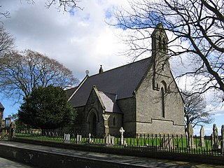
Grindale is a village and civil parish in the East Riding of Yorkshire, England. It is situated approximately 4 miles (6 km) north-west of Bridlington town centre.
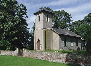
Goxhill is a small hamlet in the East Riding of Yorkshire, England in an area known as Holderness. It is situated approximately 2 miles (3.2 km) south-west of Hornsea town centre.

Fordon is a village and former civil parish, now in the parish of Wold Newton, in the East Riding of Yorkshire, England, near the border with North Yorkshire. It is situated approximately 8 miles (13 km) south of Scarborough and 10 miles (16 km) north-west of Bridlington. In 1931 the parish had a population of 29.
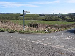
Leppington is a hamlet and former civil parish, now in the parish of Scrayingham, in the Ryedale district of North Yorkshire, England, and is 12 miles (19 km) north-east from the centre of the city and county town of York. In 1931 the parish had a population of 74.


