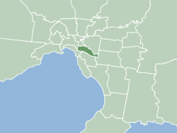
The City of Stonnington is a local government area located within the metropolitan area of Melbourne, Australia. It comprises the inner south-eastern suburbs, between 3 and 13 km, from the Melbourne CBD. The city covers an area of 25.7 km2 (9.9 sq mi).

Box Hill is a suburb of Melbourne, Victoria, Australia, 14 kilometres (8.7 mi) east of the city's Central Business District (CBD), located within the City of Whitehorse local government area. Box Hill recorded a population of 14,353 at the 2021 census.

Bundoora is a suburb in Melbourne, Victoria, Australia, 15 km (9.3 mi) north-east of Melbourne's Central Business District, located within the Cities of Banyule, Darebin and Whittlesea local government areas. Bundoora recorded a population of 28,068 at the 2021 census.
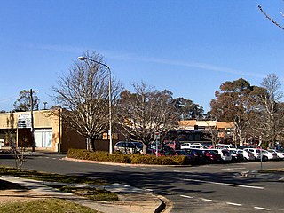
Waramanga is a suburb of Canberra, Australian Capital Territory, Australia in the district of Weston Creek.

Lethbridge is a rural township outside Geelong, Victoria, Australia. Bluestone from Lethbridge quarries was used to build several significant buildings in Melbourne, including the steps to the Parliament House. At the 2016 census, Lethbridge had a population of 1,014.

Mortdale is a suburb located in southern Sydney, in the state of New South Wales, Australia. Mortdale is located 20 kilometres south of the Sydney central business district and is part of the St George area. Mortdale is situated in the local government area of Georges River Council. Mortdale extends south to Lime Kiln Bay, on the Georges River. Mortdale Heights is a locality in the western corner of the suburb.
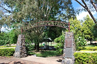
Kenilworth is a rural town and locality in the Sunshine Coast Region, Queensland, Australia. In the 2016 census, the locality of Kenilworth had a population of 558 people. In the 2021 census, Kenilworth had a population of 604 people. The residents of Kenilworth comprise of 49.0% males, 51.0% females, and reported a median age of 51 years old.
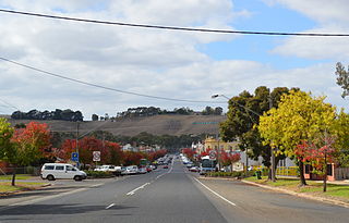
Casterton is a town in Victoria, Australia, located on the Glenelg Highway, 42 kilometres east of the South Australian border, in the Shire of Glenelg. The Glenelg River passes through the town. Casterton is named after the village of Casterton in south-east Cumbria in England.

Wollert is a suburb in Melbourne, Victoria, Australia, 26 km north of Melbourne's central business district, located within the City of Whittlesea local government area. Wollert recorded a population of 24,407 at the 2021 census.
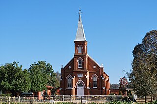
Burrumbuttock is a town in the central southern part of the Riverina region of the Australian state of New South Wales. The town is about 16 kilometres (10 mi) south east of Walbundrie and 34 kilometres (21 mi) north-west of Albury.

Soldier settlement was the settlement of land throughout parts of Australia by returning discharged soldiers under soldier settlement schemes administered by state governments after World War I and World War II. The post-World War II settlements were co-ordinated by the Commonwealth Soldier Settlement Commission.

Baerami is a locality in the Muswellbrook Shire in the Upper Hunter region of New South Wales, Australia.

Trawalla is a town in central Western Victoria, Australia, located on the Western Highway, 41 kilometres (25 mi) west of Ballarat and 154 kilometres (96 mi) west of Melbourne, in the Shire of Pyrenees. At the 2006 census, Trawalla and the surrounding agricultural area had a population of 224.

Branxholme is a township in the Shire of Southern Grampians in the Western District of Victoria, Australia on the Henty Highway between Heywood and Hamilton. At the 2016 census, Branxholme and the surrounding area had a population of 351.

Cavendish is a township in the Shire of Southern Grampians in the Western District of Victoria, Australia, on the Wannon River. At the 2006 census, Cavendish and the surrounding area had a population of 454.

The County of Dundas is one of the 37 counties of Victoria which are part of the cadastral divisions of Australia, used for land titles. The county is in the Western District of Victoria bounded by the Glenelg River in the west and north, by a line from Casterton to Penshurst in the south, and by the eastern edge of the Grampians in the east. Larger towns include Hamilton, Casterton and Coleraine. The county was proclaimed in 1849.
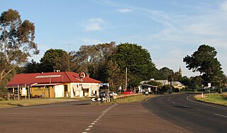
Wickliffe is a small town in the Rural City of Ararat local government area in western Victoria, Australia. At the 2021 census, Wickliffe and the surrounding area had a population of 123.

Geoffrey Tremayne Sambell CMG, Mention in Dispatches was an Australian Anglican bishop and World War 2 army chaplain.
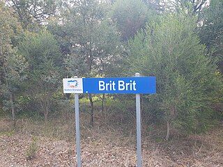
Brit Brit is a locality and parish in the Shire of Southern Grampians in the Western District of Victoria, Australia.
Homewood is a locality in Victoria, Australia. It is part of Shire of Murrindindi, and had a population of 70 in 2021.


