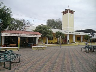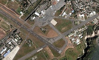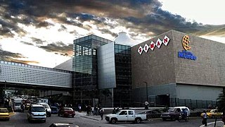
The Legislative Assembly is the legislative branch of the government of El Salvador.

The Mexican Riviera refers collectively to twenty cities and lagoons lying on the western coast of Mexico. Although there are long distances between these cities, they are often collectively referred to as the Mexican Riviera because of their many oceanfront resorts and their popularity among tourists. Cruise ships often visit three or four of these destinations on their longer cruises. In a 2005 interview Stanley McDonald, the founder of Princess Cruises, mentioned:
The call of the "Mexican Riviera" was coined by Princess Cruise Line. Now everyone refers to it as the Mexican Riviera. I believe that it really spoke to the quality and beauty of what people would see down there. We all know the French Riviera -- the Mexican Riviera was something we had in the western hemisphere.

Aguilares is a district in the San Salvador department of El Salvador, located 33 km away from the city of San Salvador. The municipality measures 33.72 km² and as of 2006, had an estimated population of 73,300. Sugar cane cultivation is the major economic activity for the area.
Cuscatancingo is a district in the San Salvador department of El Salvador. It is located about 4 kilometres (2.5 mi) from the city of San Salvador and has a population of about 50,000. It is part of the San Salvador metropolitan area.

Ciudad Delgado is a district in the San Salvador department of El Salvador. It is a part of the Metropolitan Area of San Salvador.

El Paisnal is a district in the San Salvador department of El Salvador.

Ilopango is a town and district in the San Salvador department of El Salvador. It is a few miles east of the nation's capital, San Salvador and part of the San Salvador metropolitan area. It is located near Lake Ilopango, the country's largest lake at 72 square kilometers.

Mejicanos is a district of San Salvador Centro municipality in the San Salvador department of El Salvador.

Santiago Texacuangos is a district in the San Salvador department of El Salvador. It is near Lake Ilopango.

Soyapango is a district in the San Salvador department of El Salvador. Soyapango is the country's largest municipality with 284,700 residents. Soyapango is a satellite city of San Salvador and it is the main thoroughfare between San Salvador and the eastern part of the country, and nearly 70,000 vehicles travel through it every day. The nickname for this satellite city is Soya.
San Juan Tepezontes is a municipality in the La Paz department of El Salvador. Its name is a Hispanicization of a Nawat term meaning "many hills." It was incorporated in 1945. Its population as of 2004 was 3,269.
San Rafael Cedros is a municipality in the Cuscatlán department of El Salvador. It is located near the capital.

Acajutla is a seaport city in Sonsonate Department, El Salvador. The city is located at 13°35′24″N89°50′01″W on the Pacific coast of Central America and is El Salvador's principal seaport from which a large portion of the nation's exports of coffee, sugar, and Balsam of Peru are shipped. As a city, Acajutla is one of seventeen such districts in Sonsonate. As of 1992, the population of the city was 18,008.

San Andrés is a pre-Columbian site in El Salvador, whose occupation began around the year 900 BC as an agricultural town in the valley of Zapotitán in the department of La Libertad. This early establishment was vacated by the year 250 because of the enormous eruption of the caldera of Lago Ilopango, and was occupied again in the 5th Century, along with many other sites in the valley of Zapotitán. Between 600 and 900 AD, San Andrés was the capital of a Maya polity with supremacy over the other establishments of Valle de Zapotitán.

The Lempa River is a 422-kilometre-long (262 mi) river in Central America. It is a transboundary river shared by El Salvador, Guatemala and Honduras.

Casa Blanca is a pre-Columbian Maya archeological site in Chalchuapa, El Salvador. The site possesses several pyramids dating to the Late Preclassic period and the Classic period. This ruin is part of the Chalchuapa archaeological zone and displays influences from the Olmecs and from Teotihuacan. It is closely related to the ruins of Tazumal and San Andrés. The government purchased the park in 1977 and it was given the name of the coffee plantation upon which it was situated. There are many pyramids at Casa Blanca but only two have been partially restored. Casa Blanca is located in the department of Santa Ana. Casa Blanca has been closed to the public and is undergoing restoration work; it has a site museum with exhibits that include Maya ceramics and other artifacts.
The Zona Rosa attack was a guerrilla attack that took place in the Zona Rosa restaurant area of San Salvador, El Salvador at approximately 21:30 on June 19, 1985, during the Salvadoran Civil War. The attack was conducted by gunmen dressed as Salvadoran soldiers, and in total twelve people were killed: four United States Marines, two United States businessmen, a Guatemalan, a Chilean, and four Salvadorans. A left-wing guerrilla group, the Revolutionary Party of Central American Workers, and its armed wing, the Mardoqueo Cruz Urban Commando claimed responsibility for the attack.

Estadio Nacional Jorge "El Mágico" González is a football stadium in San Salvador. It is named after Salvadoran star player Mágico González. The stadium has a capacity of 30,000 and was previously known as "Estadio Nacional Flor Blanca", referring to the name of the San Salvador neighborhood where it is located.

Francisco Gavidia University (UFG) is a university located in San Salvador, El Salvador. The university was named after the famous Salvadoran scholar, Francisco Gavidia.
Escuela Americana El Salvador is an American international school in San Salvador, serving grades PreK-12. it consists of three divisions: Pre-Kindergarten through 5th grade in the lower school, 6th through 8th grade in the middle school, and 9th through 12th grade in the upper school. Established in 1946, it is governed by the Asociación Escuela Americana.
This page is based on this
Wikipedia article Text is available under the
CC BY-SA 4.0 license; additional terms may apply.
Images, videos and audio are available under their respective licenses.


