Adjala–Tosorontio is a township in south-central Ontario, Canada, in the County of Simcoe.
Tweed is a municipality located in central-eastern Ontario, Canada, in Hastings County.

Central Frontenac is a township in eastern Ontario, Canada in the County of Frontenac.

Madoc is a township in Hastings County in Eastern Ontario, Canada.

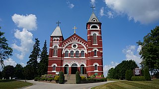
The Municipality of Centre Hastings is a township in Eastern Ontario, Canada, in Hastings County. It was formed on January 1, 1998, through the amalgamation of Huntingdon Township with the Village of Madoc.

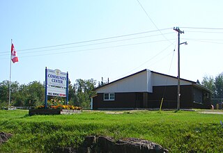
Black River-Matheson is a township in the Cochrane District of the Canadian province of Ontario. The municipality is astride the Black River, for which it is partly named. The Matheson railway station was serviced by the Northlander until 2012.
South Frontenac is a township in Frontenac County in eastern Ontario, Canada. It was amalgamated in 1998 from the former townships of Bedford, Loughborough, Portland, and Storrington.

Minden Hills is a township in and the county seat of Haliburton County, Ontario, Canada. It is an amalgam of the townships of Snowdon, Lutterworth, Anson, Hindon and Minden. It is usually referred to as Minden, after its largest community.
Unorganized North Nipissing District is an unorganized area in northeastern Ontario, Canada. It includes the unincorporated areas in northern Nipissing District north of the Mattawa River.
Limerick is a small township in Hastings County, Ontario, Canada, near Limerick Lake. It is located 80 kilometres (50 mi) north of Belleville between Madoc and Bancroft and served by Ontario Highway 62 and Township Road 620. The Township is bordered by the Town of Bancroft, Township of Wollaston and the joined Townships of Tudor and Cashel. The township is heavily forested, as is the shoreline of the Limerick Lake, the main industry in the township being forestry and logging. The population of Limerick Township is approx. 300 full-year residents, and another 1000 seasonal residents.

The Township of Alnwick/Haldimand is a township in central Ontario, Canada, in Northumberland County, situated between Lake Ontario and Rice Lake. It was formed in 2001 by the merger of Alnwick Township in the north and Haldimand Township in the south. Alderville First Nation is an autonomously governed First Nation contained within the township boundaries, in two non-contiguous sections along County Roads 45 and 18.

Cramahe is a rural township located in Northumberland County in central Ontario, Canada. It is situated just off Ontario Highway 401 approximately 140 km East of Toronto. It was named for Hector Theophilus de Cramahé, who was Lieutenant-Governor of the Province of Quebec. The seat of the Township and largest town is Colborne.

Tyendinaga is a township in the Canadian province of Ontario, located in Hastings County. The community takes its name from a variant spelling of Mohawk leader Joseph Brant's traditional Mohawk name, Thayendanegea.
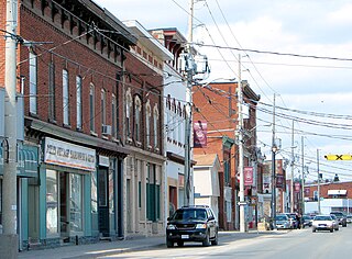
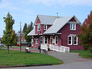
Stirling-Rawdon is a township in the Canadian province of Ontario, located in Hastings County. It was formed on January 1, 1998, through the amalgamation of Rawdon Township with the Village of Stirling. Stirling was named the 2012 Kraft Hockeyville winner, after gaining more than 3.9 million votes.
Madawaska Valley is a township in Renfrew County, Ontario, Canada. It was formed on January 1, 2001, through the amalgamation of the village of Barry's Bay and the townships of Radcliffe and Sherwood Jones & Burns.
Tudor and Cashel is a township in the Canadian province of Ontario, located in Hastings County.

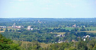
Stone Mills is a lower tier township located north of Greater Napanee in Lennox and Addington County, Ontario, Canada. According to the 2011 census, the township has a population of 7,560.

Algonquin Highlands is a township located in Haliburton County, Ontario, Canada. It has a population of 2,351. The northeastern section of the township is included in Algonquin Provincial Park.

Faraday is a township in the Canadian province of Ontario, located within Hastings County.

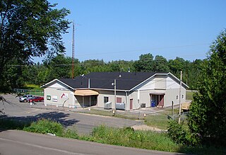
Wollaston is an incorporated township in Hastings County, Ontario, Canada. The township had a population of 670 in the Canada 2016 Census.


