Kristiansand Region is a statistical metropolitan region in Agder county in southern Norway. It is centered on the city of Kristiansand. The region consist of six municipalities in the centre of Southern Norway. Vennesla, Iveland, and Birkenes are inland municipalities while Kristiansand, Lindesnes, and Lillesand are coastal municipalities. Kristiansand is the largest municipality in population in the region.

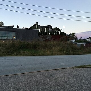
Vågsbygd is a borough and district in the city of Kristiansand which lies in the municipality of Kristiansand in Agder county, Norway. It is the largest borough and district in Kristiansand. Until 1965, Vågsbygd was a part of Oddernes municipality. The borough includes the districts of Flekkerøy, Voiebyen, Vågsbygd/Augland, and Slettheia. The Kristiansand Cannon Museum on Kroodden is an authentic fortress from World War II.

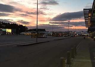
Sørlandsparken is a power center in the municipality of Kristiansand in Agder county, Norway. The park covers an area of about 670,000 square metres and it has over 5,000 work positions. The park area is located just off the European route E18 highway in the district of Tveit and it includes Norway's largest shopping mall, Sørlandssenteret as well as the Kristiansand Zoo and Amusement Park.

Vestre Strandgate is a street and a road in Kristiansand, Norway. The road is a part of National Road 471 and starts after Riksvei 9 ends in Kvadraturen.

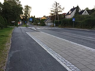
Norwegian County Road 456 (Fv456) is a Norwegian county road in Vest-Agder, Norway. The road takes over for European route E39 in Hannevika, Kristiansand, in to the borough Vågsbygd. Therefore this part is called the Vågsbygdporten and goes through a tunnel under Slettheia. The road continues south through Vågsbygd and goes west when it comes to Voiebyen. It then goes past Bråvann and into Søgne municipality. In Søgne, the road goes through Langenes and is therefore called Langenesveien or Langenessletta. County Road 456 goes past places like the church in Søgne and the only high school in Søgne. The road ends in Søgne centrum, Tangvall. It leads through the centre and stops with E39 again.

Ternevig is a neighbourhood in the city of Kristiansand in Agder county, Norway. The neighborhood is located in the borough of Vågsbygd and in the district of Voiebyen. Ternevig is northeast of Møvik, southeast of Voie, east of Møviklia, and west of the ocean and the island of Andøya. There is a small hospital located in Ternevig serving the borough of Vågsbygd. There is also a marina located in this neighborhood.
40 / 42/50 are three local bus lines in Kristiansand, Norway to Søgne. They all go from downtown Kristiansand to the centrum of Søgne and further in the municipality. 40 and 42 goes all day and evening, while line 50 only goes in the rush hours. Line 40 goes ten past the hour and line 42 ten past half. There are extra buses in the rush hours.

Hannevikåsen is a neighbourhood in the city of Kristiansand in Agder county, Norway. It is located in the borough of Grim and in the district of Tinnheia. It lies up the hill from Hannevika and Kolsdalen. The European route E39 highway runs underneath the south end of the neighborhood.

Skutevika is a neighbourhood in the city of Kristiansand in Agder county, Norway. The neighborhood is located in the borough of Vågsbygd and in the district of Voiebyen. Skutevika is north of Kroodden, south of Møviklia, east of Steindalen, and west of Spinneren.
Steindalen is a neighbourhood in the city of Kristiansand in Agder county, Norway. The neighborhood is located in the borough of Vågsbygd and in the district of Voiebyen. Steindalen is north of Kroodden, south of Voieåsen, east of Voietun, and west of Møviklia.
Voieåsen is a neighbourhood in the city of Kristiansand in Agder county, Norway. The neighborhood is located in the borough of Vågsbygd and in the district of Voiebyen. Voieåsen is north of Møviklia, south of Voie, east of Voielia, and west of Møvik.
Voielia is a neighbourhood in the city of Kristiansand in Agder county, Norway. The neighborhood is located in the borough of Vågsbygd and in the district of Voiebyen. Voielia is north of Voietun, south of Rådyr, east of Bråvann, and west of Voieåsen.
Rådyr is a neighbourhood in the city of Kristiansand in Agder county, Norway. The neighborhood is located in the borough of Vågsbygd and in the district of Voiebyen. The neighborhood of Rådyr is north of Voielia, south of Kjos Haveby, east of Bråvann, and west of Kjosbukta.
Smiebrygga is a neighbourhood in the city of Kristiansand in Agder county, Norway. It is located in the borough of Vågsbygd and in the district of Vågsbygd. Smiebrygga is north of Kjosbukta, south of Auglandskollen, east of Kjosneset, and west of the ocean.
Storenes is a neighbourhood in the city of Kristiansand in Agder county, Norway. It is located in the borough of Vågsbygd and in the district of Vågsbygd. The neighborhood is located along the Kristiansandsfjorden, southeast of Augland.
Vestheiene is a neighbourhood in the city of Kristiansand in Agder county, Norway. It is located in the borough of Grim and in the district of Hellemyr. Vestheiene is located to the east of Breimyr and west of Hellemyrtoppen. Solkollen lies to the north of Vestheiene.
Hellemyrtoppen is a neighbourhood in the city of Kristiansand in Agder county, Norway. It is located in the borough of Grim and in the district of Hellemyr. Hellemyrtoppen is located just north of the European route E39 highway. It is north of Rige, east of Vestheiene, and west of Fjellro.
Solkollen is a neighbourhood in the city of Kristiansand in Agder county, Norway. It is located in the borough of Grim and in the district of Hellemyr. Solkollen is located to the north of Breimyr, to the west of the lake Eigevann, and to the north of Vestheiene.

Hamresanden is a 3-kilometre (1.9 mi) long beach in the municipality of Kristiansand in Agder county, Norway. The sandy beach is located at Hamre in the district of Tveit, along the Topdalsfjorden at the mouth of the river Topdalselva. It is located near Kristiansand Airport, Kjevik. Hamresanden goes from Grovikheia in Hånes to Ve.
Elisenhøy is a neighbourhood in the city of Kristiansand in Agder county, Norway. It is located in the borough of Grim and in the district of Grim. It is located on the south side of the Norwegian National Road 9, east of Klappane and Grim torv, northwest of Fagervoll, and south of Krossen.


