
The M56 motorway serves the Cheshire and Greater Manchester areas of England. It runs east to west from junction 4 of the M60 at Gatley, south of Manchester, to Dunkirk, approximately four miles north of Chester. With a length of 33.3 miles (53.6 km), it connects North Wales and the Wirral peninsula with much of the rest of North West England, serves business and commuter traffic heading towards Manchester, particularly that from the wider Cheshire area, and provides the main road access to Manchester Airport from the national motorway network.

Sutton railway station (sometimes referred to as Sutton (Surrey) on tickets and timetables) is in the London Borough of Sutton in South London and is the main station serving the town of Sutton. It is served by Southern and Thameslink trains, and lies in Travelcard Zone 5, 14 miles 75 chains (14.94 miles, 24.04 km) down the line from London Bridge, measured via Forest Hill.
Ambergate railway station is a railway station owned by Network Rail and managed by East Midlands Railway. It serves the village of Ambergate in Derbyshire, England. The station is located on the Derwent Valley Line from Derby to Matlock, which diverges from the Midland Main Line just south of the station at Ambergate Junction.

The St Helens and Runcorn Gap Railway was an early railway line owned by a company of the same name in Lancashire, England, which opened in 1833. It was later known as St Helens Railway. It ran originally from the town of St Helens to the area which would later develop into the town of Widnes. Branches were opened to Garston, Warrington and Rainford. The company was taken over by the London and North Western Railway in 1864. The line from St Helens to Widnes and the branch to Rainford are now closed, the latter terminating at the Pilkington Glass' Cowley Hill works siding near Gerard's Bridge, but part of the lines to Garston and to Warrington are still in operation.
Allerton railway station was a railway station on the City Line of the Merseyrail network, located in the suburbs of Liverpool, England.
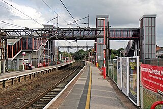
Runcorn railway station is in the town of Runcorn in Cheshire, north-west England. The station lies on the Liverpool branch of the West Coast Main Line/Crewe-Liverpool Lime Street line via Runcorn and Liverpool South Parkway between Acton Bridge/Crewe and Liverpool South Parkway and is managed by Avanti West Coast. There are regular services to Liverpool Lime Street, Crewe, London Euston, Birmingham New Street and Chester.

The Runcorn Railway Bridge, Ethelfleda Bridge or Britannia Bridge crosses the River Mersey at Runcorn Gap between Runcorn and Widnes in Cheshire, England. It is alongside the Silver Jubilee Bridge. The bridge is recorded in the National Heritage List for England as a Grade II* Listed building.

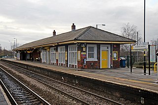
St Helens Central railway station is a railway station serving the town of St Helens, Merseyside, England. It is on the Liverpool to Wigan Line from Liverpool Lime Street to Wigan North Western. The station and all trains calling at it are operated by TransPennine Express or Northern Trains.
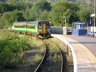
St Helens Junction railway station is a railway station serving St Helens, Merseyside, England. It is in Sutton, three miles southeast of St Helens town centre. The station is on the electrified northern route of the Liverpool to Manchester Line, 12 miles (19 km) east of Liverpool Lime Street. The station and all trains calling there are presently operated by Northern Trains.

The Liverpool–Wigan line is a railway line in the north-west of England, running between Liverpool Lime Street and Wigan North Western via St Helens Central station. The line is a part of the electrified Merseyrail Liverpool to Wigan City Line. The stations, and all trains serving it, are operated by Northern Trains, however the stations are branded Merseyrail using Merseyrail ticketing.

Halton Curve is a short bi-directional railway line which links the Chester–Warrington line to the Weaver Junction–Liverpool line within the borough of Halton, Cheshire. The route, which is 1 mile 54 chains (2.7 km) long, is between Frodsham Junction and Halton Junction. After having no regular services for more than four decades, the line was upgraded and reopened in 2019 by Network Rail, enabling hourly passenger trains between Chester and Liverpool.

Widnes is an industrial town in the Borough of Halton, Cheshire, England, which at the 2021 census had a population of 62,400.

The Lochaber Narrow Gauge Railway was a 3 ft narrow-gauge industrial railway. It was a relatively long line, built for the construction and subsequent maintenance of a 15-mile-long (24-kilometre) tunnel from Loch Treig to a factory near Fort William in Scotland. The tunnel was excavated to carry water for the Lochaber hydroelectric scheme in connection with aluminium production by British Aluminium. The railway came to be known colloquially as the 'Old Puggy Line'.

The Warrington and Altrincham Junction Railway was a railway line that was in operation from 1 November 1853 to 7 July 1985. The railway was created by an act of parliament on 3 July 1851 to build a line between Timperley Junction on the Manchester, South Junction and Altrincham Railway (MSJAR), to provide a through route to Manchester, and Warrington Arpley on the St Helens and Runcorn Gap Railway providing a link with Liverpool.

The Acton–Northolt line (ANL), historically known as the New North main line (NNML), is a railway line in West London, England. Built between 1903 and 1906, it runs from the Great Western Main Line at Old Oak Common TMD to the Chiltern Main Line at South Ruislip, alongside the West Ruislip branch of the London Underground Central line, for a distance of around 11 miles (18 km).
Clock Face railway station served the colliery village of Clock Face south of St Helens, England. The station was on the southern section of the St Helens and Runcorn Gap Railway which was later absorbed by the London and North Western Railway.
Sutton Oak railway station served the southern area of St Helens, England. The station was on the central section of the St Helens and Runcorn Gap Railway which was later absorbed by the London and North Western Railway.
Peasley Cross railway station served the central southern area of St Helens, England. It was situated on the central section of the St Helens and Runcorn Gap Railway which was later absorbed by the London and North Western Railway.
Fidler's Ferry & Penketh railway station was on what is now the southwestern edge of Warrington, England. It was located at a point where the St Helens and Runcorn Gap Railway, the Sankey Canal and the River Mersey come side by side and where a ferry at one time plied across the river. In modern times the station site is at the southern, canal end of Station Road, Penketh.
Sankey Bridges railway station was in southwestern Warrington, England. It was located immediately west of a swing bridge over the Sankey Canal. The station site is to the south of Old Liverpool Road, Warrington.