Hillside, Colorado | |
|---|---|
 Looking north along Highway 69 in Hillside | |
 | |
| Coordinates: 38°15′54″N105°36′46″W / 38.26500°N 105.61278°W | |
| Country | |
| State | |
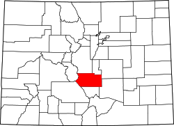
| Counties | Fremont [1] |
| Elevation | 7,490 ft (2,283 m) |
| Time zone | UTC-7 (MST) |
| • Summer (DST) | UTC-6 (MDT) |
| ZIP code [2] | 81232 |
Hillside is an unincorporated community and a U.S. Post Office in Fremont County, Colorado, United States. The Hillside Post Office has the ZIP Code 81232. [2]