Related Research Articles

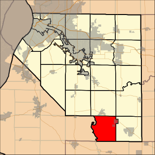
Lenzburg Township is located in St. Clair County, Illinois. As of the 2010 census, its population was 1,047 and it contained 450 housing units.

La Belleza is a town and municipality in the Santander Department in northeastern Colombia.

The Fort Yuma Indian Reservation is a part of the traditional lands of the Quechan people. Established in 1884 from the former Fort Yuma, the reservation, at 32°47′04″N114°38′43″W, has a land area of 178.197 km2 (68.802 sq mi) in southeastern Imperial County, California, and western Yuma County, Arizona, near the city of Yuma, Arizona. Both the county and city are named for the tribe. As of the 2010 Census the population was 2,189. In 1910, the community of Bard, California, was created after the eastern part of the reservation was declared surplus under the Dawes Act.
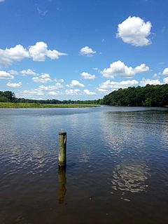
The St. Martin River is a tributary of Isle of Wight Bay in Worcester County, Maryland. Approximately 4.4 miles (7.1 km) long, it drains the northernmost part of Worcester County.
Coady is an unincorporated community in east central Harris County, Texas, United States.

Wilkownia is a village in the administrative district of Gmina Sztabin, within Augustów County, Podlaskie Voivodeship, in north-eastern Poland. It lies approximately 16 kilometres (10 mi) north-east of Sztabin, 22 km (14 mi) east of Augustów, and 75 km (47 mi) north of the regional capital Białystok.

Tuckahoe Creek is a 21.5-mile-long (34.6 km) tributary of the Choptank River on Maryland's Eastern Shore. It is sometimes (erroneously) referred to as the Tuckahoe River. Upstream of Hillsboro, it forms the boundary between Caroline County and Queen Anne's County, passing through Tuckahoe State Park and dividing the small towns of Queen Anne and Hillsboro. Downstream of Hillsboro, it forms the boundary between Caroline County and Talbot County, before flowing into the Choptank.
Johnson Wildlife Management Area is a Wildlife Management Area in Wicomico County, Maryland.
Nanticoke River Wildlife Management Area is a Wildlife Management Area in Wicomico County, Maryland near Quantico, Maryland.
Wellington Wildlife Management Area is a Wildlife Management Area in Somerset County, Maryland.
Le Compte Wildlife Management Area is a Wildlife Management Area in Dorchester County, Maryland.

Mieczki-Ziemaki is a village in the administrative district of Gmina Troszyn, within Ostrołęka County, Masovian Voivodeship, in east-central Poland. It lies approximately 9 kilometres (6 mi) east of Troszyn, 21 km (13 mi) east of Ostrołęka, and 108 km (67 mi) north-east of Warsaw.

Andrewville is an unincorporated community in Kent County, Delaware. Its elevation is 56 ft (17m) and is located at 38°51′41″N75°38′06″W. It is located west of Farmington on Andrewville Road.
Waddeys is an unincorporated community in Northumberland County, in the U.S. state of Virginia.

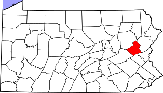
Ashfield is an unincorporated community in East Penn Township, Carbon County located south of Lehighton and west of Bowmanstown on Route 895 at the northern foot of Blue Mountain. The Lizard Creek flows east through Ashfield into the Lehigh River. Although the village has its own post office with the zip code of 18212, some residents are served by the Lehighton post office, Zip Code 18235.
Perkinsville is an unincorporated community in Madison County, Indiana, in the United States.
Schumaker Pond is a 35-acre pond created by damming Beaverdam Creek, in Wicomico County, Maryland. The pond is owned by the City of Salisbury and is on the eastern end of the Salisbury City Park. The maximum water depth is 5 feet near the dam, in the old creek channel. In the 1950s-60s Schumaker Pond was popular for swimming, but swimming has since been banned due to the large quantities of E-Coli bacteria in the water. Today, the pond is often used for fishing.
Beaverdam Creek is a tributary of the Wicomico River on the Eastern Shore of Maryland. Parker Pond and Schumaker Pond were created by damming Beaverdam Creek.
Deer Park is an unincorporated community in Boone County, in the U.S. state of Missouri. It is located south of Columbia on U.S. Route 63.
Renfro is an unincorporated community in Moniteau County, in the U.S. state of Missouri.
References
Coordinates: 38°51′41″N75°47′04″W / 38.86139°N 75.78444°W
