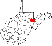
Bear Rocks is a widely recognized symbol of West Virginia wilderness and among the most frequently photographed places in the state. It is a well-known landmark on the eastern edge of the plateau that includes the Dolly Sods Wilderness. It sits in a high-elevation heathland punctuated with wind-carved sandstone outcrops and is home to more than a dozen rare plant and animal species. Situated on the crest of the Allegheny Front, Bear Rocks afford vistas over the South Branch Potomac River. Visibility can extend eastward to the Shenandoah National Park in Virginia.
Sleepy Creek is a 44.0-mile-long (70.8 km) tributary of the Potomac River in the United States, belonging to the Chesapeake Bay's watershed. The stream rises in Frederick County, Virginia, and flows through Morgan County, West Virginia before joining the Potomac near the community of Sleepy Creek.

Meadow Branch is a 16.7-mile-long (26.9 km) tributary stream of Sleepy Creek in West Virginia's Eastern Panhandle region. It passes through the Sleepy Creek Wildlife Management Area, where it is dammed to form the 205-acre (0.83 km2) Sleepy Creek Lake.

Sky Meadows State Park is a 1,862-acre (754 ha) park in the Virginia state park system. In addition to preserved woodland, meadow and swamp, sections of the park are farmed, in part because it contains the former Mt. Bleak-Skye Farm which was listed on the National Register of Historic Places in 2004. Located in extreme northwest Fauquier County, Virginia in the Blue Ridge Mountains, near Paris, Virginia off U.S. 17, one mile (1.6 km) south of U.S. 50 and seven miles (11 km) north of Interstate 66, it is an International Dark Sky Park located about an hour outside the Washington, D.C. metro region.
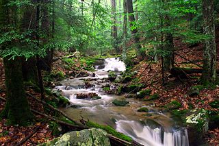
Holly River State Park is a state park located in Webster County, West Virginia. Situated on the Left Fork of the Holly River near the town of Hacker Valley, it is the second largest park in the West Virginia state park system with a total of 8,294 acres (3,356 ha). The park features over 42 miles (68 km) of hiking trails, ten vacation cabins, an 88-unit campground, and many recreation and picnic areas.
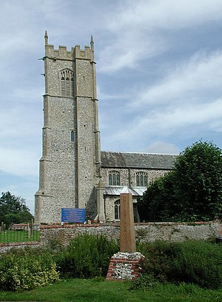
Grimston is a village and civil parish in the English county of Norfolk, approximately 6 miles north-east of King's Lynn. It covers an area of 18.08 km2 (6.98 sq mi) and had a population of 1,952 in 823 households at the 2001 census, increasing to a population of 1,980 at the 2011 census. For the purposes of local government, it falls within the district of King's Lynn and West Norfolk.

Clarence Watson Meadows was the 22nd Governor of West Virginia from 1945 to 1949. He was the first governor of West Virginia to be born in the 20th century.

Meadow River Wildlife Management Area, is located near Rupert, West Virginia in Greenbrier County. Occupying 2,385 acres (965 ha) of river bottomland, the WMA is located along the Meadow River and consists mainly of wetlands habitat.
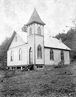
Meadow Creek is an unincorporated community in Summers County, West Virginia, United States. Meadow Creek is located on the New River, southwest of Meadow Bridge and north of Hinton.
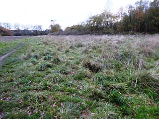
Coalville Meadows is a 6.0 hectares biological Site of Special Scientific Interest between Whitwick and Coalville in Leicestershire. It is managed by the Friends of Holly Hayes Wood.
Meadow Bluff is an unincorporated community in Greenbrier County, West Virginia, United States. Meadow Bluff is 4.5 miles (7.2 km) southeast of Rupert.
Grassy Meadows is an unincorporated community in Greenbrier County, West Virginia, United States. Grassy Meadows is 7 miles (11 km) east-southeast of Meadow Bridge. Grassy Meadows had a post office, which opened on June 15, 1858, and closed on June 25, 2011.
Rich Neck Plantation was located in James City County, Virginia in the Colony of Virginia.
Holly is an unincorporated community in Kanawha County, West Virginia, United States, situated along Cabin Creek.
Maple Meadow is an unincorporated community in Raleigh County, West Virginia, United States.
Flaggy Meadow is an unincorporated community in Monongalia County, West Virginia, United States.
Meadow Fork is an unincorporated community in Fayette County, West Virginia, United States.

West's Meadow, Aldermaston is a 1.2-hectare (3.0-acre) biological Site of Special Scientific Interest south of Aldermaston in Berkshire.

Holly Farm Meadow, Wendling is a 2.6-hectare (6.4-acre) biological Site of Special Scientific Interest west of Dereham in Norfolk, England.


