
Upper Common Pits is a 3-hectare (7.4-acre) geological Site of Special Scientific Interest in the north of Gomshall in Surrey. It is a Geological Conservation Review site.

Totternhoe Stone Pit is a geological Site of Special Scientific Interest in Totternhoe in Bedfordshire, England. It is also a Geological Conservation Review site, and the local planning authority is Central Bedfordshire Council.

Little Heath Pit is a 0.3-hectare (0.74-acre) geological Site of Special Scientific Interest at Little Heath near Potten End in Hertfordshire. It is part of the Ashridge Estate, owned by the National Trust, and the local planning authority is Dacorum Borough Council. It is listed in the Geological Conservation Review.

Fern House Gravel Pit is a 1.3-hectare (3.2-acre) geological Site of Special Scientific Interest in Fern, near Bourne End in Buckinghamshire. It is also a Geological Conservation Review site.

South Lodge Pit is a 0.5-hectare (1.2-acre) geological Site of Special Scientific Interest in Taplow in Buckinghamshire. It is a Geological Conservation Review site.
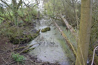
Hall's Quarry is a 0.8-hectare (2.0-acre) geological Site of Special Scientific Interest north-west of Ugley Green in Essex. It is a Geological Conservation Review site.

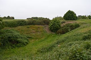
Ardleigh Gravel Pit is a 1.2-hectare (3.0-acre) geological Site of Special Scientific Interest south of Ardleigh in Essex. It is a Geological Conservation Review site.
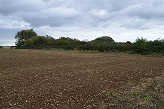
St Osyth Pit is a 0.1-hectare (0.25-acre) geological Site of Special Scientific Interest north of St Osyth in Essex. It is a Geological Conservation Review site.
Eye Gravel Pit is a 0.4-hectare (0.99-acre) geological Site of Special Scientific Interest in Eye Green in Cambridgeshire. It is a Geological Conservation Review site, and part of it overlaps Eye Green Local Nature Reserve.

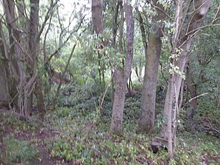
Holton Pit is a 1.6-hectare (4.0-acre) geological Site of Special Scientific Interest east of Halesworth in Suffolk. It is a Geological Conservation Review site.
Hascot Hill Pit is a 0.3-hectare (0.74-acre) geological Site of Special Scientific Interest south-west of Needham Market in Suffolk. It is a Geological Conservation Review site. It is also a Local Wildlife Site.

Waldringfield Pit is a 0.8-hectare (2.0-acre) geological Site of Special Scientific Interest between Martlesham Heath and Waldringfield in Suffolk. It is a Geological Conservation Review site.

Sturry Pit is a 0.7 hectares geological Site of Special Scientific Interest north-east of Canterbury in Kent. It is a Geological Conservation Review site.
Tower Hill to Cockham Wood is a 47.8-hectare (118-acre) biological and geological Site of Special Scientific Interest on the northern outskirts of Rochester in Kent. It contains two Geological Conservation Review sites.

Holkham Brick Pit is a 0.5-hectare (1.2-acre) geological Site of Special Scientific Interest west of Wells-next-the-Sea in Norfolk. It is a Geological Conservation Review site, and it is in the Norfolk Coast Area of Outstanding Natural Beauty.

Wells Chalk Pit is a 4-hectare (9.9-acre) biological and geological Site of Special Scientific Interest on the eastern outskirts of Wells-next-the-Sea in Norfolk. It is a Geological Conservation Review site, and it is in the Norfolk Coast Area of Outstanding Natural Beauty.

Leet Hill, Kirby Cane is a 6.5-hectare (16-acre) geological Site of Special Scientific Interest in Kirby Cane in Norfolk. It is a Geological Conservation Review site.
Weybourne Town Pit is a 0.7-hectare (1.7-acre) geological Site of Special Scientific Interest west of Sheringham in Norfolk. It is a Geological Conservation Review site and it is in the Norfolk Coast Area of Outstanding Natural Beauty.

Duncroft Farm Pit is a 0.1-hectare (0.25-acre) geological Site of Special Scientific Interest west of Kingsclere in Hampshire. It is a Geological Conservation Review site.
