
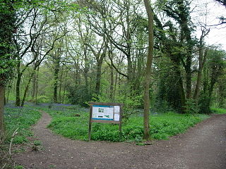
Ham Street Woods is a 175.2-hectare (433-acre) biological Site of Special Scientific Interest south of Ashford in Kent. It is a Nature Conservation Review site, Grade I, and an area of 97.1 hectares is a National Nature Reserve.

Colyers Hanger is a 26.6-hectare (66-acre) biological Site of Special Scientific Interest south-east of Guildford in Surrey. It is a Nature Conservation Review site, Grade 2 and is part of St Martha's Hill and Colyer's Hanger nature reserve, which is managed by the Surrey Wildlife Trust.
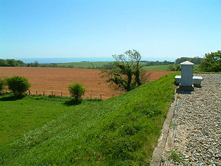
Folkestone to Etchinghill Escarpment is a 263.2-hectare (650-acre) biological and geological Site of Special Scientific Interest on the northern outskirts of Folkestone in Kent. It is a Special Area of Conservation. An area of 205 hectares is a Nature Conservation Review grassland site, Grade 2, and the 70-hectare (170-acre) Asholt Wood at its western end is a Grade 1 woodland site. The reserve has a Geological Conservation Review site.
Staffhurst Wood is a 51-hectare (130-acre) biological Site of Special Scientific Interest south of Oxted in Surrey. It is a Nature Conservation Review site, Grade 2. An area of 38.1 hectares is a Local Nature Reserve, which is owned by Surrey County Council.

Castle Hill is a 114.6-hectare (283-acre) biological Site of Special Scientific Interest on the eastern outskirts of Brighton in East Sussex. It is a Special Area of Conservation and Nature Conservation Review site. The northern half is a national nature reserve

Charnwood Lodge is a 134.2-hectare (332-acre) biological and geological Site of Special Scientific Interest in Charnwood Forest, east of Coalville in Leicestershire. It is a national nature reserve, and contains two Geological Conservation Review sites. It is managed by the Leicestershire and Rutland Wildlife Trust.

Folkestone Warren is a 316.3-hectare (782-acre) biological and geological Site of Special Scientific Interest (SSSI) which runs along the coast between Folkestone and Dover in Kent. It is a Nature Conservation Review site and it contains three Geological Conservation Review sites and part of a fourth. An area of 83.6 hectares is a Local Nature Reserve,

Halling to Trottiscliffe Escarpment is a 600.6-hectare (1,484-acre) biological Site of Special Scientific Interest which runs from Cuxton to Wrotham, west of Rochester in Kent. It is a Nature Conservation Review site, Grade I. and a Special Area of Conservation.

Hubbard's Hill is a 66.6-hectare (165-acre) geological Site of Special Scientific Interest south of Sevenoaks in Kent. It is a Geological Conservation Review site.

Hart Hill is a 1.4-hectare (3.5-acre) geological Site of Special Scientific Interest north-west of Charing Kent. It is a Geological Conservation Review site.
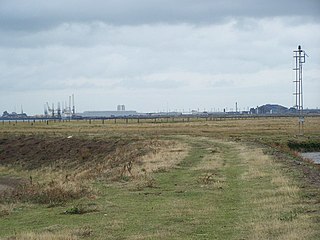
Medway Estuary and Marshes is a 4,748.8-hectare (11,735-acre) biological Site of Special Scientific Interest which stretches along the banks of the River Medway between Gillingham and Sheerness in Kent. It is a Nature Conservation Review site, Grade I, a Ramsar internationally important wetland site, and a Special Protection Area under the European Union Directive on the Conservation of Wild Birds.

Northward Hill is a 52.5-hectare (130-acre) biological Site of Special Scientific Interest Kent. It is a Nature Conservation Review site, Grade 2, and is also designated High Halstow National Nature Reserve The site is managed by the Royal Society for the Protection of Birds.

Orlestone Forest is a 347.6-hectare (859-acre) biological Site of Special Scientific Interest south of Ashford in Kent. It is a Nature Conservation Review site, Grade I.

Scord's Wood and Brockhoult Mount is a 252.3-hectare (623-acre) biological Site of Special Scientific Interest west of Sevenoaks in Kent. Scord's Wood is a Nature Conservation Review site, Grade I.

South Thames Estuary and Marshes is a 5,289-hectare (13,070-acre) biological Site of Special Scientific Interest which stretches between Gravesend and the mouth of the River Medway in Kent. Part of it is a Nature Conservation Review site, Grade I, and part is a Royal Society for the Protection of Birds nature reserve. It is part of the Thames Estuary and Marshes Ramsar internationally important wetland site and Special Protection Area under the European Union Directive on the Conservation of Wild Birds.

Wouldham to Detling Escarpment is a 311.2-hectare (769-acre) biological and geological Site of Special Scientific Interest which stretches from Wouldham to Detling, north of Maidstone in Kent. Part of it is a Geological Conservation Review site, and it is part of the North Downs Woodlands Special Area of Conservation and the Kent Downs Area of Outstanding Natural Beauty. It is a Nature Conservation Review site, Grade I and it includes three Kent Wildlife Trust nature reserves and a Local Nature Reserve,

Foulden Common is a 139-hectare (340-acre) biological Site of Special Scientific Interest east of Downham Market in Norfolk. It is a Nature Conservation Review site, Grade 2, and part of the Norfolk Valley Fens Special Area of Conservation.

St Martha's Hill and Colyer's Hanger is a 38-hectare (94-acre) nature reserve north of Chilworth in Surrey. It is owned by the Albury Estate and managed by Surrey County Council. Colyers Hanger is a Site of Special Scientific Interest and a Nature Conservation Review site, Grade 2. Earth circles, which are probably associated with tree planting for Chilworth Manor, are a Scheduled Monument.

Cothill Fen is a 43.3-hectare (107-acre) biological and geological Site of Special Scientific Interest north-west of Abingdon-on-Thames in Oxfordshire. It is a Special Area of Conservation and parts of it are a Geological Conservation Review site, a Nature Conservation Review site, Grade 1, and a National Nature Reserve. It also includes two areas which are nature reserves managed by the Berkshire, Buckinghamshire and Oxfordshire Wildlife Trust, Lashford Lane Fen and Parsonage Moor.
