Irving Township | |
|---|---|
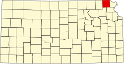
 Location in Brown County | |
| Coordinates: 39°56′15″N095°24′31″W / 39.93750°N 95.40861°W | |
| Country | United States |
| State | Kansas |
| County | Brown |
| Area | |
• Total | 53.0 sq mi (137.3 km2) |
| • Land | 52.99 sq mi (137.25 km2) |
| • Water | 0.023 sq mi (0.06 km2) 0.04% |
| Elevation | 991 ft (302 m) |
| Population (2000) | |
• Total | 311 |
| • Density | 6.0/sq mi (2.3/km2) |
| GNIS feature ID | 0472788 |
Irving Township is a township in Brown County, Kansas, United States. As of the 2000 census, its population was 311.