Kangaamiut Gammel Sukkertoppen | |
|---|---|
 Kangaamiut | |
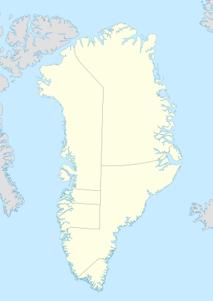 Kangaamiut Location within Greenland  Kangaamiut Kangaamiut (North America) | |
| Coordinates: 65°49′30″N53°20′15″W / 65.82500°N 53.33750°W | |
| State | |
| Constituent country | |
| Municipality | |
| Founded | 1755 |
| Government | |
| • Mayor | Judithe Fredriksen |
| Population (2020) | |
• Total | 293 [2] |
| Time zone | UTC−02:00 (Western Greenland Time) |
| • Summer (DST) | UTC−01:00 (Western Greenland Summer Time) |
| Postal code | 3912 Maniitsoq |
Kangaamiut, [3] [4] formerly known as Gammel Sukkertoppen, [5] is a settlement with a population of 293 (2020 [2] ) in the Qeqqata municipality in central-western Greenland.

