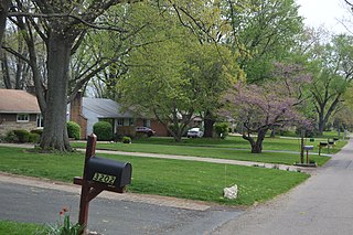
North Robinson is a village in Crawford County, Ohio, United States. The population was 205 at the 2010 census.

Minerva Park is a village in Franklin County, Ohio, United States. The population was 2,009 at the 2020 census.

Nongpoh {IPA: nɒŋˈpɒ(ə)} is the administrative centre of Ri-Bhoi district in the Indian state of Meghalaya in the Republic of India. Nongpoh is located on National Highway 40, fifty-two kilometers from the state capital Shillong and forty-eight kilometers from Guwahati in the state of Assam.

Bangaon is a city and a municipality in North 24 Parganas district in the state of West Bengal, India. It is the headquarters of the Bangaon subdivision.

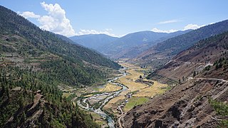
Jumla District, is one of the ten districts of the Karnali province of Nepal. This district has Jumla as its headquarters, an area of 2,531 square kilometres (977 sq mi); it had populations of 89,427 and 108,921, respectively, in the national censuses of 2001 and 2011. Its territory lies between longitudes 81⁰ 28' and 82⁰ 18' East, and between latitudes 28⁰ 58' and 29⁰ 30' North.

Uttarpara or Uttarpara Kotrung is a city and a municipality of Hooghly district in the Indian state of West Bengal. It is a part of the area covered by Kolkata Metropolitan Development Authority (KMDA). Uttarpara is located at 22.67°N 88.35°E, within 10 km from Kolkata, the capital of the state of West Bengal. It is located along the Hooghly river, across from the Dakshineswar Kali Temple. Uttarpara is home to the Uttarpara Jayakrishna Public Library, Asia's oldest free public library.

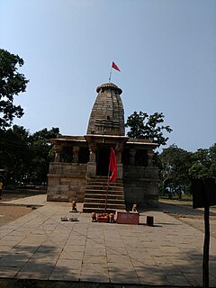
Korba District is an administrative district of Chhattisgarh state in central India. The headquarter of this district is Korba.

Ghaziabad district is a largely suburban district of Uttar Pradesh state in northern India. It is also a core part of the National Capital Region. The city of Ghaziabad is the administrative headquarters of the district. This district is part of Meerut Division. It has become a major bedroom community for Delhi.
Hamirpur is a city and a municipal board in Hamirpur district in the Indian state of Uttar Pradesh. It is the administrative headquarters of Hamirpur district.

Baran district is a district in the Indian state of Rajasthan. The headquarters of the district are located at the city of Baran.

Angara block is an administrative CD block in the Ranchi Sadar subdivision of Ranchi district in the Indian state of Jharkhand.
Bagbera Colony is a census town in the Golmuri-cum-Jugsalai CD block in the Dhalbhum subdivision of the Purbi Singhbhum district in the state of Jharkhand, India.
Garulia is a city and a municipality of North 24 Parganas district in the Indian state of West Bengal. It is a part of the area covered by Kolkata Metropolitan Development Authority (KMDA).
Mrigala is a village in Chanditala II CD Block in Srirampore subdivision of Hooghly district in the Indian state of West Bengal. It was earlier recorded as a census town.
Domariaganj is a town and tehsil of Siddharthnagar district in eastern Uttar Pradesh. It is located on the bank of the river Rapti, 30 km south of the Nepal border.
Bharatpur I is a community development block that forms an administrative division in the Kandi subdivision of Murshidabad district in the Indian state of West Bengal.
Naxalbari is a community development block that forms an administrative division in the Siliguri subdivision of the Darjeeling district in the Indian state of West Bengal.
Deganga is a village and a gram panchayat in the Deganga CD block in the Barasat Sadar subdivision of the North 24 Parganas district in the state of West Bengal, India. Berachampa and Deulia are located nearby.

Singrauli Assembly constituency is one of the 230 Vidhan Sabha constituencies of Madhya Pradesh state in central India.


