North Norfolk is a local government district in Norfolk, England. Its council is based in Cromer. The population at the 2011 Census was 101,149.

The Paston Way is a footpath. It is entirely within the English county of Norfolk in the United Kingdom. The footpath is twenty miles in length, the portals to the path are Cromer at its northwestern end and North Walsham at it southeastern end.

Thompson Water, Carr and Common is a 154.7-hectare (382-acre) biological Site of Special Scientific Interest north of Thetford in Norfolk. Most of it is managed by the Norfolk Wildlife Trust as Thompson Common. It is a Nature Conservation Review site, Grade I, and part of the Norfolk Valley Fens Special Area of Conservation. It is crossed by the Great Eastern Pingo Trail Local Nature Reserve.

Wilwell Farm Nature Reserve or Wilwell Cutting is a biological Site of Special Scientific Interest and Local Nature Reserve in Nottinghamshire.

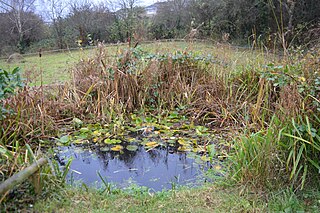
Ali's Pond is a 0.4-hectare (0.99-acre) Local Nature Reserve in Sonning in Berkshire. It is owned by Sonning Parish Council and managed by the Friends of Ali's Pond.

Foxley Wood is a nature reserve in Foxley, Norfolk, England, the largest ancient woodland and coppice in Norfolk. The Norfolk Wildlife Trust, which manages this reserve, bought it in 1998. It is 123 hectares in size. It is a Site of Special Scientific Interest, a Nature Conservation Review site, Grade 2, and a National Nature Reserve.

Belmont Pastures is a 1.3 hectare Local Nature Reserve and Site of Borough Importance for Nature Conservation, Grade II, in Belmont in the London Borough of Sutton. It is owned by Sutton Council and managed by the council together with Sutton Nature Conservation Volunteers.

Yeading Brook Meadows is a 17 hectare Local Nature Reserve (LNR) in Yeading in the London Borough of Hillingdon. It is owned by Hillingdon Council and managed by the London Wildlife Trust (LWT). In the north it adjoins Ten Acre Wood across the Golden Bridge and Charville Lane; it then stretches south along the banks of the Yeading Brook to Yeading Lane. The reserve is also part of the Yeading Brook Meadows Site of Metropolitan Importance for Nature Conservation, which includes two neighbouring LNRs managed by the London Wildlife Trust, Ten Acre Wood and Gutteridge Wood and Meadows.

Hill Rise is a 0.9 hectare Local Nature Reserve (LNR) located in the Harpur area of Bedford. It is owned and managed by Bedford Borough Council.

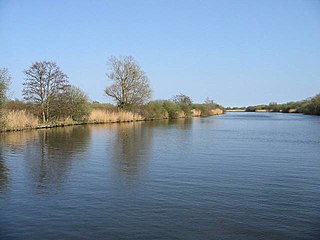
Bure Broads and Marshes is a 741.1-hectare (1,831-acre) biological Site of Special Scientific Interest north-east of Norwich in Norfolk. Most of it is a Nature Conservation Review site, Grade I and National Nature Reserve. Two areas are nature reserves managed by the Norfolk Wildlife Trust, Cockshoot Broad and Ranworth Broad. It is part of the Broadland Ramsar site and Special Protection Area and The Broads Special Area of Conservation,

Cranberry Rough is an 81.1-hectare (200-acre) biological and geological Site of Special Scientific Interest in the parish of Hockham, east of Attleborough in Norfolk. It is a Nature Conservation Review site, Grade 2, and the Great Eastern Pingo Trail, which is a Local Nature Reserve, goes through the site. Part of it is a Geological Conservation Review site, and it is part of the Breckland Special Protection Area.

Southrepps Common is a 5.6-hectare (14-acre) biological Site of Special Scientific Interest north of North Walsham in Norfolk. A larger area of 12.9-hectare (32-acre) is a Local Nature Reserve. It is owned by Southrepps Parish Council and managed by Southrepps Common Group. It is part of the Norfolk Valley Fens Special Area of Conservation.

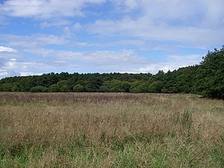
Felmingham Cutting is a 1-hectare (2.5-acre) Local Nature Reserve west of North Walsham in Norfolk. It is owned by North Norfolk District Council and managed by Butterfly Conservation.

Pigneys Wood or Pigney's Wood is a 20.9-hectare (52-acre) Local Nature Reserve north of North Walsham in Norfolk. It was formerly owned by the North Norfolk Community Woodland Trust and is now owned and managed by the Norfolk Wildlife Trust.

South Walsham Fen is a 1.4-hectare (3.5-acre) Local Nature Reserve west of South Walsham in Norfolk. It is owned and managed by Norfolk County Council.


