West Chillisquaque Township is a township in Northumberland County, Pennsylvania, United States. The population at the 2010 Census was 2,627, a decline from the figure of 2,846 tabulated in 2000.

Fladså was a municipality in Storstrøm County in south Denmark. The municipality covered an area of 133 km2, and had a total population of 7,581 (2005). Its last mayor was Hans R. Hansen, a member of the Venstre political party.
Sturgeon River is an unorganized territory in Saint Louis County, Minnesota, United States. The population was 99 at the 2000 census.
Barroquinha is a community in the Brazilian state of Ceará. The population was estimated at 15,044 in 2020.

The Greater Caucasus is the major mountain range of the Caucasus Mountains. It stretches for about 1,200 kilometres (750 mi) from west-northwest to east-southeast, from the Taman Peninsula of the Black Sea to the Absheron Peninsula of the Caspian Sea: from the Western Caucasus in the vicinity of Sochi on the northeastern shore of the Black Sea and reaching nearly to Baku on the Caspian.

Baranof Warm Springs is a small, primarily seasonally-occupied community located in the city and borough of Sitka, Alaska, on the eastern side of Baranof Island, from which it likely derives its name, in the Alexander Archipelago. It is occasionally referred to simply as Baranof. Baranof Warm Springs is located at 57°05′22″N134°49′59″W.

Luweero is a town in the Central Region of Uganda. It is the main municipal, administrative, and commercial center of Luweero District.

Aquidabã is a municipality located in the Brazilian state of Sergipe. Its population was 21,681 (2020) and its area is 357 km².

PyeongtaekJije Station is a subway station located in Pyeongtaek, South Korea. It serves the SRT and Seoul Subway Line 1. A large E-Mart store is very close to the station. On 24 November 2020, the name was changed to PyeongtaekJije.
Dher Ummed Ali Shah is a village and a union council, an administrative subdivision, and one of the 28 unions of the Mianwali District in the Punjab province of Pakistan. It is located in Mianwali tehsil at 32°49'59N 71°34'28E.
Spandaryan is a village in the Artik Municipality of the Shirak Province of Armenia. The village was renamed in 1946 in honor of Armenian revolutionary Suren Spandaryan.
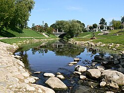
The Coskata-Coatue Wildlife Refuge is a nature preserve on Nantucket Island and is managed by the Trustees of Reservations. It encompasses miles of beaches, the largest red cedar woodland in New England and Great Point Light. The reservation began with an acquisition of land in 1974.
El Mochito mine is an underground zinc and silver mine in Honduras that is owned by Kirungu Corporation. The mine is located near the municipality of Las Vegas in northwest section Honduras. At approximately 88 km (55 mi) northeast of the mine, the closest major city is San Pedro Sula, which also acts as the commercial centre of the country.

Air India Flight 245 was a scheduled Air India passenger flight from Bombay to London via Cairo and Geneva. On the morning of 3 November 1950, the Lockheed L-749A Constellation serving the flight crashed into Mont Blanc, France, while approaching Geneva. All 48 aboard were killed.
Aousserd is a province in the Moroccan economic region of Dakhla-Oued Ed-Dahab, and the disputed territory of Western Sahara. At the 2004 Census it had a population of 7,689.
Pojezna is a village in the municipality of Derventa, Bosnia and Herzegovina.

Bradina is a village in the municipality of Konjic in Herzegovina, Federation of Bosnia and Herzegovina, Bosnia and Herzegovina.

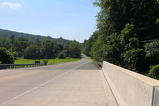
Route 92 or Norðfjarðarvegur is a national road in the Eastern Region of Iceland. It connects the towns of Reyðarfjörður, Eskifjörður, and Neskaupstaður and includes the tunnel Norðfjarðargöng which opened to traffic on 11 November 2017. Until the opening of Norðfjarðargöng, the road used the shorter tunnel Oddsskarðsgöng which was located at a higher elevation at the Oddsskarð pass and was often closed in winter.
Drymos, Aetolia-Acarnania is a settlement located in the municipality of Aktio-Vonitsa, roughly between the cities of Amfilochia and Vonitsa. It is near the ancient town of Drymus. Recent archaeological excavations have uncovered an early Christian basilica on the outer perimeter of the settlement.
The Dasht-e Khash, also Dasht-e Khash or Dasht-e Khāsh. is a desert in Afghanistan's Nimruz Province. The desert is adjacent to the Dasht-e Margo. Located at 620 meters above sea level, it is among the five major deserts in Afghanistan, the other four being Dasht-e-Leili, Dasht-e Margo, Dasht-e Naomid, and Registan Desert.