This article relies largely or entirely on a single source .(March 2025) |
| Lago Puelo National Park | |
|---|---|
 Emblem of the Lago Puelo National Park | |
 Aerial view of Lake Puelo | |
 | |
| Location | Chubut Province, Argentina |
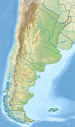
| Coordinates | 42°11′S71°41′W / 42.183°S 71.683°W |
| Area | 276.74 km2 (106.85 sq mi) |
| Established | 1971 |
| Governing body | Administración de Parques Nacionales |
The Lago Puelo National Park (Spanish : Parque Nacional Lago Puelo) is a national park of Argentina, located in the northwest of the province of Chubut, in the Patagonia region of South America. It has an area of 276.74 square kilometres (68,380 acres). It was created to protect its scenic landscape and the Valdivian flora to augment that of the nearby Los Alerces National Park. Originally an annex to Los Alerces, it was declared a National Park and independent reserve in 1971.
Contents
The protected area is named after the Puelo Lake, and belongs to the Patagonic forest and steppes and High Andes eco-regions.
The mountainous zone where the park lies was modified by the action of glaciers, which created many rivers and lakes, including Puelo Lake the namesake of the park. The rivers of the region have high levels of glacier sediment (silt), which gives Puelo Lake its blue color.