
Whalsay is the sixth largest of the Shetland Islands in the north of Scotland.

Hildasay, also known as Hildisay, is an uninhabited island off the west coast of the Shetland Mainland.
Vaila is an island in Shetland, Scotland, lying south of the Westland peninsula of the Shetland Mainland. It has an area of 327 hectares, and is 95 metres (312 ft) at its highest point.

Linga is a very small uninhabited island in the Bluemull Sound, Shetland, Scotland. It is one of many islands in Shetland called Linga. It has an area of 45 ha and is 26m at its highest point.

Samphrey is an uninhabited island in the Shetland Islands, Scotland. One of Fair Isle's old names is "Friðarey" which is of similar origin.
West Linga is an uninhabited island located between Mainland and Whalsay in Shetland, Scotland.

The Scalloway Islands are in Shetland opposite Scalloway on south west of the Mainland. They form a mini-archipelago and include:

Tingwall, is a parish in Shetland, Scotland. Located mostly on the Shetland Mainland, the centre lies about 2 miles north of Scalloway. Tingwall Airport is located in the village.

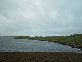
Linga is a small island off Hildasay in the Shetland Islands. It is one of the Scalloway Islands. Haswell-Smith compares Hildasay and the adjacent islands to a yeti's footprint, with Linga as the big toe.

Grif Skerry is an islet to the east of Whalsay in the Shetland Islands. Its name comes from the Norse or Norn for "deep sea skerry".

Haaf Gruney is a small island in the north east of the Shetland Islands.

Linga is one of the Shetland Islands, near Vaila and Walls on Mainland, Shetland. Its highest elevation is 28 metres (91 ft). In 2014 and 2018 it was reported that the island was for sale for £250,000.

Linga is one of the Shetland Islands, in Yell Sound.
East Linga is one of the Shetland Islands. It lies between Whalsay, and Grif Skerry to the east.
Sandsting is a parish in the West Mainland of Shetland, Scotland, forming a southern arm of the Walls Peninsula. After the parish of Aithsting was annexed into Sandsting in the sixteenth century, it became known as Sandsting and Aithsting parish.
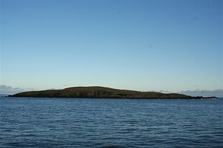
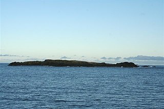
Papa is an uninhabited island in the Scalloway Islands, Shetland, Scotland.
Rumble is a skerry in the Shetland islands of Scotland, situated roughly 4 kilometres (2.5 mi) east off the coast of Huxter, southeastern Whalsay. It lies 0.75 miles (1.21 km) to southwest of East Linga. The main island, also known as Rumble Holm, is 27 feet (8.2 m) high. Nearby and to the north are the Flaeshans of Rumble, a series of small islets and stacks and Burlastack of Rumble lies to the east. On the northern side of the main island is an inlet, known as the Voe of Rumble. Lobsters and prawns are said to shelter here. It is also mentioned that a ship named Griften of unknown nationality was shipwrecked either here or on the Holm of Sandwick in 1611.

St Magnus Bay is a large coastal feature in the north-west of Mainland Shetland, Scotland. Roughly circular in shape with a diameter of about 19 kilometres (12 mi), it is open to the North Atlantic Ocean to the west. The indented coastline to the north, south and east between Esha Ness in the north and the Ness of Melby in the south contains numerous bays, firths and voes and there are several islands around the perimeter. The waters of the bay are up to 165 metres (541 ft) deep and may have been the site of a substantial meteor impact.
