
West Burra is one of the Scalloway Islands, a subgroup of the Shetland Islands in Scotland. It is connected by bridge to East Burra. With an area of 743 hectares, it is the eleventh-largest of the Shetland Islands.

East Burra is one of the Scalloway Islands, a subgroup of the Shetland Islands in Scotland. It is connected by a bridge to West Burra.
Vaila is an island in Shetland, Scotland, lying south of the Westland peninsula of the Shetland Mainland. It has an area of 327 hectares, and is 95 metres (312 ft) at its highest point.
Uyea is an uninhabited island, lying south of Unst in Shetland, Scotland.

Oxna is one of the Scalloway Islands, lying north west of Burra in Shetland, Scotland. Oxna has an area of 68 hectares.
Drem is a small village in East Lothian, Scotland.
The Gazetteer for Scotland is a gazetteer covering the geography, history and people of Scotland. It was conceived in 1995 by Bruce Gittings of the University of Edinburgh and David Munro of the Royal Scottish Geographical Society, and contains 25,870 entries as of July 2019. It claims to be "the largest dedicated Scottish resource created for the web". The Gazetteer for Scotland provides a carefully researched and editorially validated resource widely used by students, researchers, tourists and family historians with interests in Scotland.

Loch Inver is a 3.62-kilometre-long sea loch in Assynt, Sutherland and is on the northwest coast of Scotland. The loch meets the coastal embayment of Enard Bay at the north end and The Minch, where it meets Soyea Island at its mouth.
Linga is a small, uninhabited island, 1 km (0.62 mi) east of Muckle Roe in the Shetland Islands. The island is roughly circular in shape and its highest elevation is 69 metres (226 ft). Its area is 70 hectares (0.27 sq mi).
The Scalloway Islands are in Shetland opposite Scalloway on south west of the Mainland. They form a mini-archipelago and include:
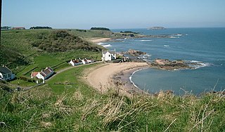
Canty Bay is a small inlet and coastal hamlet on the northern coast of East Lothian, Scotland. It is 2 miles (3.2 km) east of North Berwick and is opposite the Bass Rock and Tantallon Castle. Other settlements nearby include Auldhame, Scoughall, Seacliff, and the Peffer Sands. Canty Bay means "bay of the little head" from the Gaelic ceanntan, diminutive of ceann.

Laga is a hamlet on the north shore of Loch Sunart near Acharacle, in Lochaber, in the Highlands of Scotland and is in the council area of Highland.
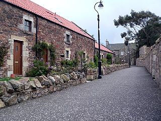
Fearn is a hamlet, situated 1 mile (1.6 km) south of Loch Eye and 2 miles (3.2 km) northwest of Balintore, in eastern Ross-shire, Scottish Highlands and is in the Scottish council area of Highland. The buildings in the hamlet are mostly cottages with walls constructed of boulders and clay.
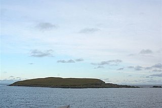
Papa is an uninhabited island in the Scalloway Islands, Shetland, Scotland.
Nista is a small islet of the Shetland Islands of Scotland, situated roughly 2 kilometres (1.2 mi) east off the coast of Whalsay. It lies to the north of Mooa.
The Inner Holm of Skaw is a small, uninhabited islet off the northern tip of the island of Whalsay, in the Shetland Islands of Scotland, north of the village of Skaw.
The Outer Holm of Skaw is a small, uninhabited islet, a rock outlier off the northeast coast of the island of Whalsay, in the Shetland Islands of Scotland.

Olave Sinclair of Havera and Brow was an official on Shetland, known as the "foud". He collected taxes due to the Scottish crown. His first name is sometimes written as Oliver, Ola, or Olaf.

