
Bressay is a populated island in the Shetland archipelago of Scotland.

Whalsay is the sixth largest of the Shetland Islands in the north of Scotland.

West Burra is one of the Scalloway Islands, a subgroup of the Shetland Islands in Scotland. It is connected by bridge to East Burra. With an area of 743 hectares, it is the eleventh-largest of the Shetland Islands.

East Burra is one of the Scalloway Islands, a subgroup of the Shetland Islands in Scotland. It is connected by a bridge to West Burra.
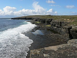
Papa Westray, also known as Papay, is one of the Orkney Islands in Scotland, United Kingdom. The fertile soil has long been a draw to the island.

Muckle Roe is an island in Shetland, Scotland, in St. Magnus Bay, to the west of Mainland. It has a population of around 130 people, who mainly croft and live in the south east of the island.
Balta is an uninhabited island in Shetland, Scotland.

Vementry is an uninhabited Scottish island in Shetland on the north side of the West Mainland, lying south of Muckle Roe.
Vaila is an island in Shetland, Scotland, lying south of the Westland peninsula of the Shetland Mainland. It has an area of 327 hectares, and is 95 metres (312 ft) at its highest point.
Uyea is an uninhabited island, lying south of Unst in Shetland, Scotland.
Trondra is one of the Scalloway Islands, a subgroup of the Shetland Islands in Scotland. It shelters the harbour of Scalloway and has an area of 275 hectares (1.06 sq mi).

Oxna is one of the Scalloway Islands, lying north west of Burra in Shetland, Scotland. Oxna has an area of 68 hectares.
Huney is an uninhabited island due east of the island of Unst in the Shetland Islands, Scotland. The island is located approximately 1 kilometre south west of Balta and has an area of just under 0.2 square kilometres (0.08 sq mi). Huney is separated from Unst by a narrow channel called The Yei. At extremely low tides a sandy tombolo may connect Huney to Unst.

Brother Isle is a small, uninhabited island in Shetland, Scotland. It lies between the islands of Yell and Shetland Mainland. It is 40 hectares in size.

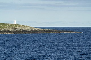
Lamba is an uninhabited island in Yell Sound in Shetland. It lies 1.5 km (0.93 mi) north of the entrance to the Sullom Voe inlet and 1.4 kilometres (0.87 mi) east of the Mainland coastline near Ollaberry. Rising 35 metres above sea level, it has an area of 43 hectares (0.17 sq mi). Its main features are a 27m high light marking the entrance to Sullom Voe, and an adjacent communications mast.
Linga is a small, uninhabited island, 1 km (0.62 mi) east of Muckle Roe in the Shetland Islands. The island is roughly circular in shape and its highest elevation is 69 metres (226 ft). Its area is 70 hectares (0.27 sq mi).

Linga is one of the Shetland Islands, in Yell Sound.
Papa is an uninhabited island in the Scalloway Islands, Shetland, Scotland.

Holm of Grimbister is an inhabited tidal islet in the Orkney archipelago of Scotland. Located in the Bay of Firth near Finstown it is connected to Mainland Orkney by a causeway.
This page is based on this
Wikipedia article Text is available under the
CC BY-SA 4.0 license; additional terms may apply.
Images, videos and audio are available under their respective licenses.

