U.S. Route 10 or U.S. Highway 10 (US 10) is an east–west United States Numbered Highway located in the Midwest and Great Lakes regions of the U.S. Unlike most U.S. Highways with "0" as the last digit of its route number, US 10 is not a cross-country highway. US 10 was one of the original long-haul highways, running from Detroit, Michigan, to Seattle, Washington, but then lost much of its length when new Interstate Highways were built on top of its right-of-way.

U.S. Highway 16 (US 16) is an east–west United States Numbered Highway between Rapid City, South Dakota, and Yellowstone National Park in Wyoming. The highway's eastern terminus is at a junction with Interstate 90 (I-90)/US 14, concurrent with I-190, in Rapid City. The western terminus is the east entrance to Yellowstone National Park, concurrent with US 14 and US 20. US 16 used to extend all the way to Michigan but has been truncated in favor of I-90 and I-96. A ballot initiative that passed in 2022 allocated funds to extend US 16 through both Joe Creek and Peoria Flats, South Dakota.
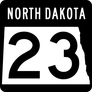
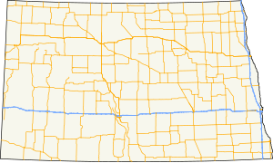
North Dakota Highway 23 is a 122.581-mile-long (197.275 km) east–west highway in northwestern North Dakota. ND 23's eastern terminus is at ND 41 near Velva, and its western terminus at U.S. Route 85 in Watford City.
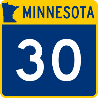
Minnesota State Highway 30 (MN 30) is a 265.503-mile-long (427.286 km) highway in southwest and southeast Minnesota, which runs from South Dakota Highway 34 at the South Dakota state line near Airlie, west of Pipestone, and continues to its eastern terminus at its intersection with Minnesota Highway 43 in Rushford.

North Dakota Highway 67(ND 67) is a 27.466-mile (44.202 km) north–south feeder highway in southwest North Dakota, United States. The southern terminus is at U.S. Route 12 (US 12) in Scranton and the northern terminus is at ND 21 near New England.
North Dakota Highway 30 is a state highway in the U.S. State of North Dakota. The highway is currently broken up into three separate segments.
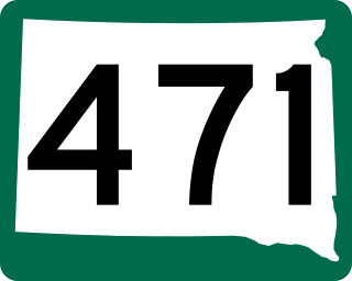
South Dakota Highway 471 (SD 471) is a 21.981-mile (35.375 km) state highway in western Fall River, South Dakota, United States, that connects Highway 71 (SD 71), southeast of Rumford, with U.S. Route 18 (US 18), in Edgemont.
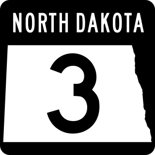
North Dakota Highway 3 (ND 3) is a 247.530-mile-long (398.361 km) major north–south state highway in North Dakota, United States, that spans the entire state. It travels from South Dakota Highway 45 (SD 45) at the South Dakota state line, south of Ashley north to Manitoba Highway 10 (PTH 10) at the International Peace Garden on the Canada–United States border.
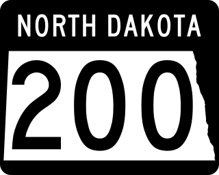
North Dakota Highway 200 (ND 200) is a major east–west state highway in North Dakota, United States. It runs from Minnesota State Highway 200 at the Minnesota border near Halstad, Minnesota to Montana Highway 200 near Fairview, Montana. At nearly 416 miles (669 km), it is the longest state highway in North Dakota.

In the US state of Iowa, Interstate 29 (I-29) is a north–south Interstate Highway which closely parallels the Missouri River. I-29 enters Iowa from Missouri near Hamburg and heads to the north-northwest through the Omaha–Council Bluffs and the Sioux City areas. It exits the state by crossing the Big Sioux River into South Dakota. For its entire distance through the state, it runs on the flat land between the Missouri River and the Loess Hills.

North Dakota Highway 15 (ND 15) is a 134.137-mile-long (215.873 km) east–west state highway in central North Dakota. The western terminus is at U.S. Route 52 (US 52) in Fessenden and the eastern terminus is at Interstate 29 (I-29) and US 81 near Thompson. ND 15 was designated in 1939.

Several special routes of U.S. Route 52 exist, from North Dakota to South Carolina. In order from northwest to southeast, they are as follows.

U.S. Highway 18 (US 18) is the northernmost east–west United States Numbered Highway in the state of Iowa. As with all state highways in Iowa, it is maintained by the Iowa Department of Transportation. It enters the state by crossing the Big Sioux River between Inwood and Canton, South Dakota. It travels about 312 miles (502 km) and connects Spencer, Mason City, and Charles City. The highway leaves the state via the Marquette–Joliet Bridge over the Mississippi River at Marquette. Prior to becoming a U.S. Highway, the route US 18 follows was known as Primary Road No. 19 and the National Parks Pike.

U.S. Highway 77 (US 77) is the shortest U.S. Highway in the state of Iowa. It crosses into Iowa over the Missouri River from South Sioux City, Nebraska, at Sioux City and runs approximately three-tenths mile (500 m) to an interchange with Interstate 29 where the road continues north as Wesley Parkway. Like all other state highways in Iowa, the route is maintained by the Iowa Department of Transportation.
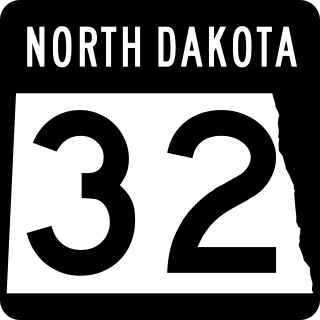
North Dakota Highway 32 is a north–south highway located that traverses portions of nine counties in eastern North Dakota. The 236.674-mile-long (380.890 km) highway is one of several north–south routes in the state that connects the Canadian border to the state's southern border with South Dakota.
North Dakota Highway 28 (ND 28) is a north–south state highway in the U.S. state of North Dakota. The southern segments southern terminus is at ND 37 south of Ryder and the northern terminus is at ND 23 north of Ryder. The northern segments southern terminus is at U.S. Route 2 in Berthold and the northern terminus is a continuation as Saskatchewan Highway 8 at the Canada/ North Dakota border.
North Dakota Highway 31 (ND 31) is a north–south state highway in the U.S. state of North Dakota. The southern segments southern terminus is a continuation as South Dakota Highway 65 (SD 65) at the South Dakota border, and the northern terminus is at ND 21 west of Flasher. The northern segments southern terminus is at Interstate 94 (I-94) north of New Salem and the northern terminus is a continuation as County Route 37 (CR 37) at the end of state maintenance in Stanton.
U.S. Highway 16 (US 16) is a 69-mile-long (111 km) east–west United States Numbered Highway in the western part of the U.S. state of South Dakota. It travels between Yellowstone National Park in Wyoming and Rapid City. In South Dakota, the highway extends from the Wyoming state line near Newcastle, Wyoming, to Interstate 90 (I-90) in Rapid City.