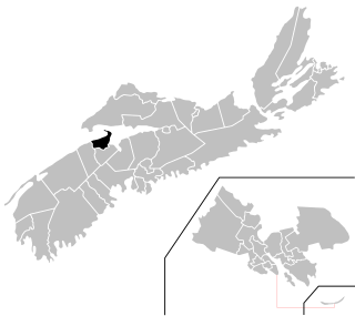
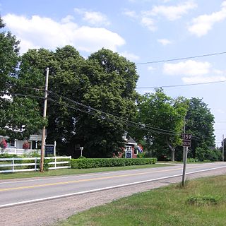
List of communities in Kings County, Nova Scotia .
Communities are ordered by the highway on which they are located, whose routes start after each terminus near the largest community.

The Annapolis Valley is a valley and region in the province of Nova Scotia, Canada. It is located in the western part of the Nova Scotia peninsula, formed by a trough between two parallel mountain ranges along the shore of the Bay of Fundy. Statistics Canada defines the Annapolis Valley as an economic region, composed of Annapolis County, Kings County, and Hants County.

Weston, Nova Scotia is a small community located in the central part of the Annapolis Valley. It is located about 3 miles (4.82 km) north-west of Berwick, Nova Scotia

Kings North is a provincial electoral district in Nova Scotia, Canada, that elects one member of the Nova Scotia House of Assembly.

Trunk 1 is part of the Canadian province of Nova Scotia's system of Trunk Highways.

The Annapolis Valley Regional Centre for Education (AVRCE) (formerly Annapolis Valley Regional School Board) is the public school district responsible for the approximately 40 elementary, middle level, and high schools in Annapolis County, Kings County, and the West Hants Municipal District of Hants County in Nova Scotia, Canada. The school district was renamed following the dissolution of elected school boards and placing in Nova Scotia in March 2018.

Trunk 12 is part of the Canadian province of Nova Scotia's system of Trunk Highways. The route runs from Chester Basin to Kentville, a distance of 66 kilometres (41 mi).
The Lighthouse Route is a scenic roadway in the Canadian province of Nova Scotia. It follows the province's South Shore for 585 km (364 mi) from Halifax to Yarmouth.

Route 221 is a collector road in the Canadian province of Nova Scotia.

Route 341 is a collector road in the Canadian province of Nova Scotia.

Route 359 is a collector road in the Canadian province of Nova Scotia.
The Evangeline Trail is a scenic roadway in the Canadian province of Nova Scotia.

Kings Transit Authority is a public transit agency operating buses in the Annapolis Valley, Nova Scotia. The system, incorporated in 1981, is funded by Kings County, Annapolis County, Digby County and the towns of Berwick, Wolfville, Kentville, Middleton, Annapolis Royal, and Digby.

Wilmot is a geographic parish in Carleton County, New Brunswick, Canada, located along the international border northwest of Woodstock.
Route 690 is a 45.6-kilometre (28.3 mi) long mostly north–south secondary highway in the southwestern portion of New Brunswick, Canada. Most of the route is in Canning Parish.
Steam Mill Village is a rural community north of Kentville, Nova Scotia, Canada beside Camp Aldershot. It is named after an early steam-powered saw mill.