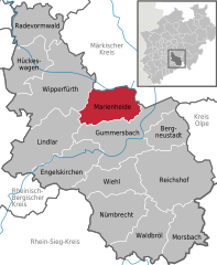
Olpe is a Kreis (district) in the south-east of North Rhine-Westphalia, Germany. Neighboring districts are Märkischer Kreis, Hochsauerland, Siegen-Wittgenstein, Altenkirchen, Oberbergischer Kreis.
The Oberbergischer Kreis is a Kreis (district) in the state of North Rhine-Westphalia, Germany. Neighboring districts are Ennepe-Ruhr, Märkischer Kreis, Olpe, Altenkirchen, Rhein-Sieg, Rheinisch-Bergischer Kreis, and the urban districts Remscheid and Wuppertal.
The Rheinisch-Bergische Kreis is a Kreis (district) in the Cologne Bonn Region of North Rhine-Westphalia, Germany. Neighboring districts are Kreis Mettman, Oberbergischer Kreis and Rhein-Sieg, and the district-free cities Cologne, Leverkusen, Solingen and Remscheid.
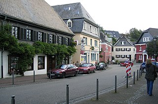
Meinerzhagen is a town in the Märkischer Kreis, North Rhine-Westphalia, Germany.
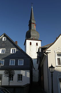
Bergneustadt is a municipality in the eastern part of the Oberbergischer Kreis (district), in North Rhine-Westphalia, Germany. It is located 50 km east of Cologne. It is part of the Berg region.

Gummersbach is a town in the state of North Rhine-Westphalia, Germany, being the district seat of the Oberbergischer Kreis. It is located 50 kilometres (31 mi) east of Cologne.

Wiehl is a municipality in the Oberbergischer Kreis, in North Rhine-Westphalia, Germany. It is located approximately 41 km east of Cologne. The neighbouring municipalities Reichshof, Waldbröl, Nümbrecht, Much, Engelskirchen and Gummersbach border on the town.

Engelskirchen is a municipality in Oberbergischer Kreis, Germany in North Rhine-Westphalia, about 40 kilometres east of Cologne. The neighbouring municipalities are Overath, Lindlar, Gummersbach, Wiehl and Much.
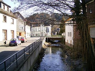
Morsbach is a municipality in Oberbergischer Kreis, a district in North Rhine-Westphalia near the border of Rhineland-Palatinate in Germany. In 2015, Morsbach's population was 10,600. The central village, also named Morsbach, has a population of 3,400. With a number of buildings dating back to the 12th century, it is a popular spot for hikers and other nature lovers.

HückeswagenGerman pronunciation: [ˈhʏkəsˌvaːɡn̩](listen)) is a town in the north of Oberbergischen Kreis, in North Rhine-Westphalia, Germany. It is part of the governmental district of Cologne.

Lindlar is a municipality in the Oberbergischer Kreis, in North Rhine-Westphalia, Germany. It is located about 30 km east of Cologne.

Wipperfürth is a municipality in the Oberbergischer Kreis of North Rhine-Westphalia, Germany, about 40 km north-east of Cologne, and the oldest town in the Bergischen Land.
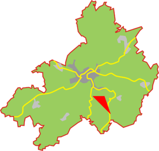
Vordermühle is a village in the town of Wipperfürth which is a Northrhine-Westfalian municipality in the Oberbergischer Kreis, about 40 km north-east of Cologne.
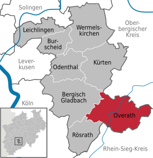
Overath is a town in the Rheinisch-Bergischer district, in North Rhine-Westphalia, Germany.

The Siegburg–Olpe railway or Agger Valley Railway is a single-tracked, non-electrified branch line in the German state of North Rhine-Westphalia. Part of a direct link from Cologne, only the section from Overath to Gummersbach-Dieringhausen is still in operation. The section of line from Siegburg to Overath and from Dieringhausen to Olpe are closed.

The Wuppertal-Oberbarmen–Solingen railway is a line in the Bergisches Land in the German state of North Rhine-Westphalia, which connects the three Bergisch cities of Wuppertal, Remscheid and Solingen. It is classified as a main line and is double track and non-electrified.

Remscheid-Lennep station is in the city of Remscheid in the German state of North Rhine-Westphalia. It is the second most important station in the city after Remscheid Hauptbahnhof. The station is located west of the old centre of Lennep and is classified by Deutsche Bahn as a category 5 station.
The Cologne–Overath railway is a single-track, non-electrified railway in the German state of North Rhine-Westphalia. It was opened in 1910 to connect the historic Siegburg–Olpe railway directly to Cologne and required the construction of the Hoffnungsthal tunnel. The section from Hoffnungsthal to Rösrath partly used the track of the Cologne–Lindlar railway, which is now largely disused west of Bergisch Gladbach. The line, like the Siegburg–Olpe line, is also called the Aggertalbahn, although it leaves the valley of the Agger not far from Overath.
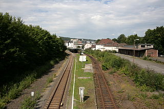
Gummersbach station is on the Hagen–Dieringhausen railway and serves central Gummersbach in the Oberbergische district. Until the 1980s, Dieringhausen station, which is also in Gummersbach, was more important for the city as it had a rail workshop and was a railway junction. Gummersbach station only became more important with the closing of branch lines in the Oberbergische district and the associated loss of significance for Dieringhausen.

The Oberbergische Bahn is a Regionalbahn rail service running between Cologne Hansaring and Lüdenscheid in the German state of North Rhine-Westphalia (NRW).

