Mascarville | |
|---|---|
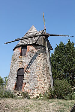 The windmill in | |
Location of Mascarville  | |
 Mascarville  Mascarville | |
| Coordinates: 43°33′18″N1°45′33″E / 43.555°N 1.7592°E | |
| Country | France |
| Region | Occitania |
| Department | Haute-Garonne |
| Arrondissement | Toulouse |
| Canton | Revel |
| Government | |
| • Mayor (2020–2026) | Serge Cazeneuve [1] |
Area 1 | 5.27 km2 (2.03 sq mi) |
| Population (2022) [2] | 181 |
| • Density | 34/km2 (89/sq mi) |
| Time zone | UTC+01:00 (CET) |
| • Summer (DST) | UTC+02:00 (CEST) |
| INSEE/Postal code | 31325 /31460 |
| Elevation | 175–281 m (574–922 ft) (avg. 232 m or 761 ft) |
| 1 French Land Register data, which excludes lakes, ponds, glaciers > 1 km2 (0.386 sq mi or 247 acres) and river estuaries. | |
Mascarville is a commune in the Haute-Garonne department in southwestern France.


