Mt. Vernon | |
|---|---|
 Mt. Vernon Location within the state of West Virginia  Mt. Vernon Mt. Vernon (the United States) | |
| Coordinates: 38°26′56″N81°56′22″W / 38.44889°N 81.93944°W | |
| Country | United States |
| State | West Virginia |
| County | Putnam |
| Time zone | UTC-5 (Eastern (EST)) |
| • Summer (DST) | UTC-4 (EDT) |
Mt. Vernon is an unincorporated community in Putnam County, West Virginia, United States. It is part of the census-designated place of Teays Valley.
The community is centered on the intersection of Teays Valley Road and Mt. Vernon/Poplar Fork Road.
Municipalities and communities of Putnam County, West Virginia, United States | ||
|---|---|---|
| Cities | 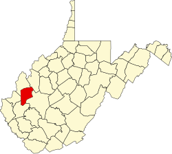 | |
| Towns | ||
| CDPs | ||
| Other localities | ||
| Footnotes | ‡This populated place also has portions in an adjacent county or counties | |
| | This article about a location in Putnam County, West Virginia is a stub. You can help Wikipedia by adding missing information. |