This is a list of the National Register of Historic Places listings in Adams County, Mississippi.

This is a list of the National Register of Historic Places listings in Harrison County, Mississippi.

This is a list of the National Register of Historic Places listings in Hinds County, Mississippi.

This is a list of the National Register of Historic Places listings in Jackson County, Mississippi.

This is a list of the National Register of Historic Places listings in Leflore County, Mississippi.
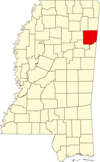
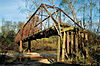
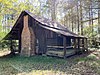
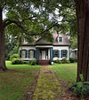
The following properties are listed on the National Register of Historic Places in Monroe County, Mississippi.
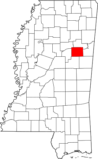
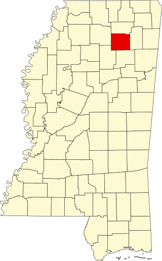
This is a list of the National Register of Historic Places listings in Oktibbeha County, Mississippi.

This is a list of the National Register of Historic Places listings in Alcorn County, Mississippi.

This is a list of the National Register of Historic Places listings in Lowndes County, Mississippi.

This is a list of the National Register of Historic Places listings in Forrest County, Mississippi.

This is a list of the National Register of Historic Places listings in Lee County, Mississippi.

This is a list of the National Register of Historic Places listings in Wilkinson County, Mississippi.
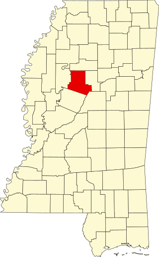
This is a list of the National Register of Historic Places listings in Carroll County, Mississippi.

This is a list of the National Register of Historic Places listings in Rankin County, Mississippi.
This is a list of the National Register of Historic Places listings in Simpson County, Mississippi.

This is a list of the National Register of Historic Places listings in Yazoo County, Mississippi.

This is a list of the National Register of Historic Places listings in Hancock County, Mississippi.

This is a list of the National Register of Historic Places listings in Grenada County, Mississippi.

This is a list of the National Register of Historic Places listings in Neshoba County, Mississippi.
This is a list of the National Register of Historic Places listings in Pontotoc County, Mississippi.