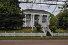
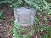
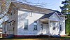
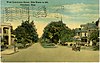
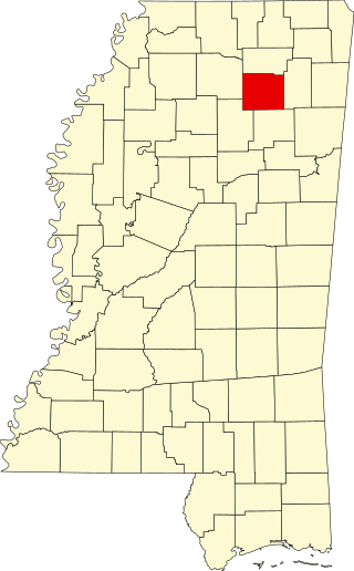
This is intended to be a complete list of the properties and districts on the National Register of Historic Places in Monroe County, Mississippi, United States. Latitude and longitude coordinates are provided for many National Register properties and districts; these locations may be seen together in a map.[1]
There are 37 properties and districts listed on the National Register in the county, including 1 National Historic Landmark.
This is a list of the National Register of Historic Places listings in Adams County, Mississippi.
This is a list of the National Register of Historic Places listings in Claiborne County, Mississippi.
This is a list of the National Register of Historic Places listings in Harrison County, Mississippi.
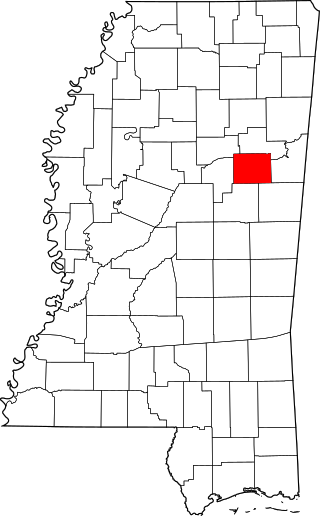
This is a list of the National Register of Historic Places listings in Clay County, Mississippi.
This is a list of the National Register of Historic Places listings in Hinds County, Mississippi.
This is a list of the National Register of Historic Places listings in Jackson County, Mississippi.
This is a list of the National Register of Historic Places listings in Warren County, Mississippi.
This is a list of the National Register of Historic Places listings in Madison County, Mississippi.
This is a list of the National Register of Historic Places listings in Oktibbeha County, Mississippi.
This is a list of the National Register of Historic Places listings in Alcorn County, Mississippi.
This is a list of the National Register of Historic Places listings in Lawrence County, Mississippi.
This is a list of the National Register of Historic Places listings in Lowndes County, Mississippi.
This is a list of the National Register of Historic Places listings in Forrest County, Mississippi.
This is a list of the National Register of Historic Places listings in Holmes County, Mississippi.
This is a list of the National Register of Historic Places listings in Simpson County, Mississippi.
This is a list of the National Register of Historic Places listings in Yazoo County, Mississippi.
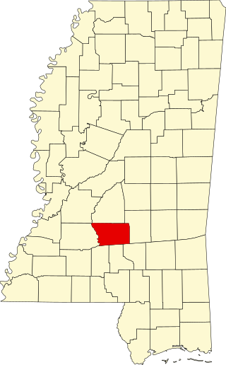
This is a list of the National Register of Historic Places listings in Chickasaw County, Mississippi.
This is a list of the National Register of Historic Places listings in Neshoba County, Mississippi.
This is a list of the National Register of Historic Places listings in Pontotoc County, Mississippi.
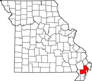
This is a list of the National Register of Historic Places listings in New Madrid County, Missouri.
References
↑ The latitude and longitude information provided in this table was derived originally from the National Register Information System, which has been found to be fairly accurate for about 99% of listings. Some locations in this table may have been corrected to current GPS standards.
↑ Numbers represent an alphabetical ordering by significant words. Various colorings, defined here, differentiate National Historic Landmarks and historic districts from other NRHP buildings, structures, sites or objects.
↑ The eight-digit number below each date is the number assigned to each location in the National Register Information System database, which can be viewed by clicking the number.
This page is based on this Wikipedia article Text is available under the CC BY-SA 4.0 license; additional terms may apply. Images, videos and audio are available under their respective licenses.