List of the National Register of Historic Places listings in Washington County, New York

This is a list of the National Register of Historic Places listings in Delaware County, Ohio.

This is a list of the National Register of Historic Places listings in Ashtabula County, Ohio.

This is a list of the National Register of Historic Places listings in Washington County, Ohio.

This is a list of the National Register of Historic Places listings in Skagit County, Washington.

This is a list of the National Register of Historic Places listings in Washington County, Maryland.

This is a list of the National Register of Historic Places listings in Washington County, Virginia.

This is a list of the National Register of Historic Places listings in Adams County, Mississippi.

This is a list of the National Register of Historic Places listings in Clarke County, Mississippi.

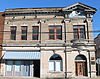
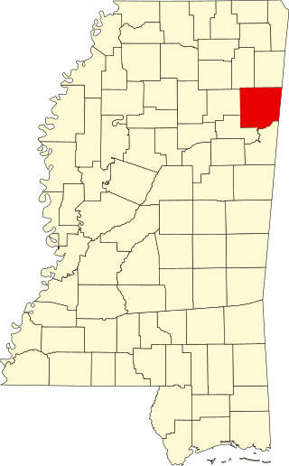
This is a list of the National Register of Historic Places listings in Marshall County, Mississippi.
The following properties are listed on the National Register of Historic Places in Monroe County, Mississippi.

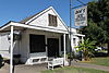
This is a list of the National Register of Historic Places listings in Lafayette County, Mississippi.
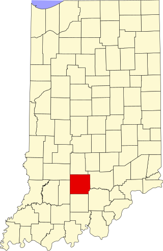
This is a list of the National Register of Historic Places listings in Lawrence County, Indiana.

This is a list of the National Register of Historic Places listings in Bolivar County, Mississippi.

This is a list of the National Register of Historic Places listings in Lincoln County, Mississippi.

This is a list of the National Register of Historic Places listings in Noxubee County, Mississippi.

This is a list of the National Register of Historic Places listings in Winston County, Mississippi.

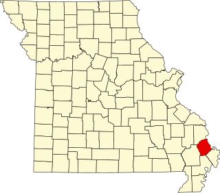
This is a list of the National Register of Historic Places listings in Mississippi County, Missouri.

This is a list of the National Register of Historic Places listings in Pemiscot County, Missouri.
This is a list of the National Register of Historic Places listings in Scott County, Missouri.