
U.S. Route 281 (US 281) is a north–south United States Numbered Highway. At 1,875 miles (3,018 km) it is the longest continuous three-digit U.S. Route.
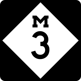
M-3, known for most of its length as Gratiot Avenue, is a north–south state trunkline highway in the Detroit metropolitan area of the US state of Michigan. The trunkline starts in Downtown Detroit and runs through the city in a northeasterly direction along one of Detroit's five major avenues. The highway passes several historic landmarks and through a historic district. It also connects residential neighborhoods on the city's east side with suburbs in Macomb County and downtown.

U.S. Route 212 (US 212) is a spur of US 12. It runs for 949 miles (1,527 km) from Yellowstone National Park to Minnesota Highway 62 at Edina, Minnesota. It does not intersect US 12 now, but it once had an eastern terminus at US 12 in St. Paul, Minnesota. US 212 passes through the states of Minnesota, South Dakota, Wyoming, and Montana. It goes through the cities of Watertown, South Dakota and Billings, Montana.

Minnesota State Highway 55 is a state highway that runs 221 miles (356 km) across the central part of state taking a diagonal route from its western most at the North Dakota state line near Tenney to its easternmost point at the intersection with U.S. Highway 61 (US 61) in Hastings. In Minneapolis and Golden Valley, portions of the route are also signed as Olson Memorial Highway.
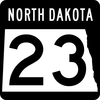
North Dakota Highway 23 is a 122.581-mile-long (197.275 km) east–west highway in northwestern North Dakota. ND 23's eastern terminus is at ND 41 near Velva, and its western terminus at U.S. Route 85 in Watford City.

North Dakota Highway 46 is a 121-mile-long (195 km) road in eastern North Dakota, crossing the Red River Valley between Streeter and Oxbow. It parallels and runs about 20 miles (32 km) south of Interstate 94 (I-94). I-29 borders it on the east and ND 30 borders it on the west.

North Dakota Highway 1 is a major north–south highway in North Dakota. It runs from Manitoba Highway 31 in Maida to South Dakota Highway 37 south of Ludden. It is 230 miles (370 km) in length.

North Dakota Highway 20 (ND 20) is a 170.550-mile-long (274.474 km) north–south highway in North Dakota. It runs from U.S. Route 52 (US 52) and US 281 in Jamestown to the Canada–United States border near Sarles. The highway continues into Manitoba as PTH 34.
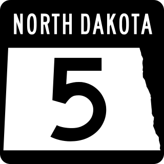
North Dakota Highway 5 is a 335.813-mile-long (540.439 km) east–west state highway in North Dakota. Its route is in the extreme north part of the state, near the Canada–United States border. The eastern terminus is located about four miles (6 km) east of Joliette at the Red River where the highway continues east as Minnesota State Highway 175. The western terminus is at North Dakota's western border about 12 miles (19 km) west of Fortuna where the highway continues west and turns into Montana Highway 5. The highway is mostly a two-lane road.

North Dakota Highway 18 is a major north–south highway in eastern North Dakota. It runs from Highway 30 at the Canadian border south of Gretna, Manitoba to South Dakota Highway 25 north of Claire City.
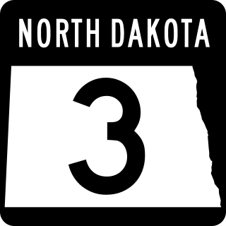
North Dakota Highway 3 (ND 3) is a 247.530-mile-long (398.361 km) major north–south state highway in North Dakota, United States, that spans the entire state. It travels from South Dakota Highway 45 (SD 45) at the South Dakota state line, south of Ashley north to Manitoba Highway 10 (PTH 10) at the International Peace Garden on the Canada–United States border.
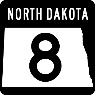
North Dakota Highway 8 (ND 8) is a 211.321-mile (340.088 km) north–south state highway in North Dakota, United States. The highway is split into two segments. The southern segment is 133 miles (214 km) long and travels from Lake Sakakawea near Twin Buttes to South Dakota Highway 75 (SD 75) near Hettinger. The northern segment is 78 miles (126 km) long and travels from Saskatchewan Highway 9 (SK 9) in Northgate on the Canada–United States border to ND 23 near New Town. The highway was originally continuous but was separated by the formation of Lake Sakakawea in the 1950s.

U.S. Highway 2 (US 2) is a 358.090-mile-long (576.290 km) United States Numbered Highway in North Dakota, which runs from the Montana state line east to the Red River at Grand Forks. The route connects the cities of Williston, Minot, and Grand Forks. Of the 358 miles (576 km) of US 2 in North Dakota, all but the westernmost 12 miles (19 km) have four lanes.

North Dakota Highway 6 is a 67.143-mile-long (108.056 km) major north–south highway in North Dakota. It runs from South Dakota Highway 63 in McLaughlin to Interstate 94 Business Loop in downtown Mandan.
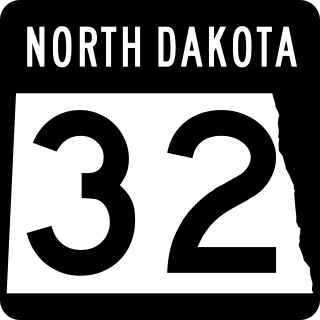
North Dakota Highway 32 is a north–south highway located that traverses portions of nine counties in eastern North Dakota. The 236.674-mile-long (380.890 km) highway is one of several north–south routes in the state that connects the Canadian border to the state's southern border with South Dakota.

North Dakota Highway 28 (ND 28) is a north–south state highway in the U.S. state of North Dakota. The southern segments southern terminus is at ND 37 south of Ryder and the northern terminus is at ND 23 north of Ryder. The northern segments southern terminus is at U.S. Route 2 in Berthold and the northern terminus is a continuation as Saskatchewan Highway 8 at the Canada/ North Dakota border.
This page is based on this
Wikipedia article Text is available under the
CC BY-SA 4.0 license; additional terms may apply.
Images, videos and audio are available under their respective licenses.

