North Grenville | |
|---|---|
| Municipality of North Grenville | |
 Kemptville, largest community in North Grenville | |
 North Grenville  North Grenville | |
| Coordinates: 44°58′N75°39′W / 44.967°N 75.650°W | |
| Country | Canada |
| Province | Ontario |
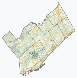
| County | Leeds and Grenville |
| Formed | January 1, 1998 |
| Government | |
| • Type | Township |
| • Mayor | Nancy Peckford [1] |
| • Fed. riding | Leeds—Grenville—Thousand Islands—Rideau Lakes |
| • Prov. riding | Leeds—Grenville—Thousand Islands and Rideau Lakes |
| Area | |
| • Land | 351.90 km2 (135.87 sq mi) |
| Population (2021) [2] | |
• Total | 17,964 |
| • Density | 51/km2 (130/sq mi) |
| Time zone | UTC−05:00 (EST) |
| • Summer (DST) | UTC−04:00 (EDT) |
| Area codes | 613, 343 |
| Website | www |
North Grenville is a township in eastern Ontario, Canada, in the United Counties of Leeds and Grenville on the Rideau River. It is located just south of Ottawa in Canada's National Capital Region.
Contents
The Township of North Grenville was established on January 1, 1998, through the amalgamation of Oxford-on-Rideau Township, South Gower Township, and the Town of Kemptville. [3] In 2003, a motion of the municipal council adopted the designation of 'municipality'.