
Worcestershire is a ceremonial county in the West Midlands of England. It is bordered by Shropshire, Staffordshire, and the West Midlands county to the north, Warwickshire to the east, Gloucestershire to the south, and Herefordshire to the west. The city of Worcester is the largest settlement and the county town.

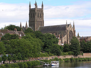
Worcester is a cathedral city in Worcestershire, England, of which it is the county town. It is 30 mi (48 km) south-west of Birmingham, 27 mi (43 km) north of Gloucester and 23 mi (37 km) north-east of Hereford. The population was 103,872 in the 2021 census.
Blockley is a village, civil parish and ecclesiastical parish in the Cotswold district of Gloucestershire, England, about 3 miles (5 km) northwest of Moreton-in-Marsh. Until 1931 Blockley was an exclave of Worcestershire.

Abberley is a village and civil parish in north west Worcestershire, England.

Mid Worcestershire was a constituency represented in the House of Commons of the UK Parliament.
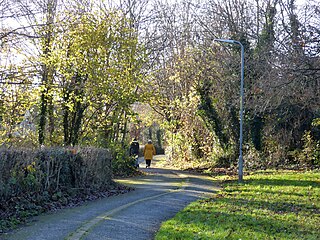
Warndon is a northeastern suburb of Worcester in Worcestershire, England. It is also a civil parish which is named after the suburb.
White Ladies Aston is a village in the Wychavon local government district of Worcestershire, England, United Kingdom, and also lends its name to the civil parish in which the village is located. The village is located to the east of the A44 which started as a Saltway linking Droitwich to Oxford. To the south is Pershore and five miles west is Worcester. The parish is bound to the east by the Bow Brook. The parish, according to the 2011 census, has 87 households with 220 residents.

The Mug House is a traditional public house located in the village of Claines, Worcestershire, England, which dates back to the 15th century.

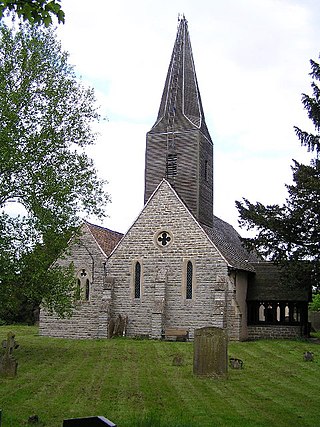
Claines is a village to the north of Worcester in the county of Worcestershire, England. It is located on the east bank of the River Severn. Claines is situated in the heart of Worcestershire on the A449 between Worcester and Kidderminster. It has a church which dates from the 10th Century. In 1881 the parish had a population of 10,212. On 30 September 1885 the parish was abolished and split to form North Claines and South Claines. It is now part of the unparished area of Worcester.
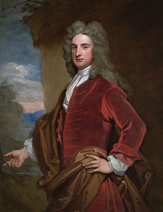
Baron Northwick, of Northwick Park in the County of Worcester, was a title in the Peerage of Great Britain. It was created in 1797 for Sir John Rushout, 5th Baronet, for many years Member of Parliament for Evesham. He was succeeded by his son, the second Baron, who was a noted collector of art. He, in turn, was succeeded by his nephew, the third Baron, the son of George Rushout-Bowles, younger son of the first Baron. He represented Evesham and Worcestershire East in Parliament. Lord Northwick had no surviving children and the titles became extinct on his death in 1887.

Tibberton is a village in Worcestershire, England. It is located around 4 miles north-east of Worcester and less than a mile from junction 6 of the M5 motorway. The Worcester and Birmingham Canal passes just to the north of the village.

Bengeworth is a locality in the civil parish of Evesham, in the Wychavon district, in the county of Worcestershire, England. In 1887 it had a population of 1,311. Today it has a school and an Anglican church.

Northwick Park is a residential estate and business centre near Blockley in Gloucestershire, England. The estate is built in the grounds of the former family seat of the Rushout family, the Barons Northwick. The Northwick Park mansion, now divided into residential accommodation, is a Grade 1 listed building.
Whistones Priory was a priory in Worcestershire, England.

Treadway Russell Nash was an English clergyman, now known as an early historian of Worcestershire and the author of Collections for the History of Worcestershire, an important source document for Worcestershire county histories. He was a fellow of the Society of Antiquaries of London.

The 2007 Wychavon District Council election took place on 3 May 2007 to elect members of Wychavon District Council in Worcestershire, England. The whole council was up for election and the Conservative party stayed in overall control of the council.

Hindlip or Hinlip is a village and civil parish 3 miles (4.8 km) north east of Worcester, in the Wychavon district, in the county of Worcestershire, England. In 2011 the parish had a population of 180. The parish touches Tibberton, Martin Hussingtree, Salwarpe, Oddingley, Warndon and North Claines.

North Claines is a civil parish in Wychavon district, Worcestershire, England, immediately north of the city of Worcester. It includes the settlements of Fernhill Heath, Bevere, Lower Town, and Hawford. It is bordered to the west and north west by the River Severn and the River Salwarpe, with the Droitwich Canal running parallel to the Salwarpe.
The Red Book of Worcester is a survey of the Bishop of Worcester's manors made circa 1299. It was ordered by Bishop Godfrey Giffard and incorporated some earlier surveys. The original Latin manuscript has been lost but a transcription was made by antiquary William Thomas before 1738. A modern version based on this transcription has been published since 1934.

