
Hautes-Alpes is a department in the Provence-Alpes-Côte d'Azur region of Southeastern France. It is located in the heart of the French Alps, after which it is named. Hautes-Alpes had a population of 141,220 as of 2019, which makes it the third least populated French department. Its prefecture is Gap; its sole subprefecture is Briançon. Its INSEE and postal code is 05.
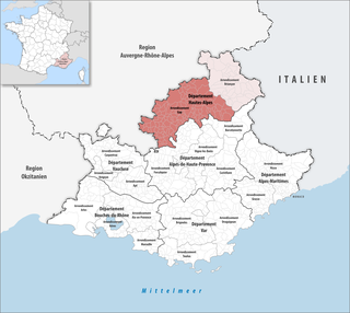
The arrondissement of Gap is an arrondissement of France in the Hautes-Alpes department in the Provence-Alpes-Côte d'Azur region. It has 126 communes. Its population is 105,841 (2016), and its area is 3,410.5 km2 (1,316.8 sq mi).
Lazer is a commune in the Hautes-Alpes department in southeastern France.

Beynes is a commune in the Alpes-de-Haute-Provence department in southeastern France.

Brunet is a commune in the Alpes-de-Haute-Provence department in southeastern France.

Les Mées is a commune in the Alpes-de-Haute-Provence department in southeastern France.

Pierrerue is a commune in the Alpes-de-Haute-Provence department in southeastern France.

Saint-Benoît is a commune in the Alpes-de-Haute-Provence department in southeastern France.
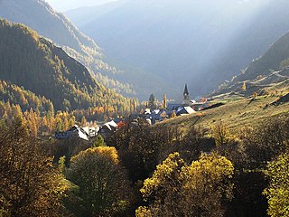
Saint-Paul-sur-Ubaye is an alpine commune on the Italian border in the Alpes-de-Haute-Provence department in the Provence-Alpes-Côte d'Azur region in Southeastern France.

Le Castellet is a rural commune in the Alpes-de-Haute-Provence department in the Provence-Alpes-Côte d'Azur region in Southeastern France. It is located north of Valensole, east of the Valley of the Durance. In 2021 it had a population of 301.

Saumane is a commune in the Alpes-de-Haute-Provence department in southeastern France.

Sigoyer is a commune in the Hautes-Alpes department in southeastern France.

Montclus is a commune in the Hautes-Alpes department in southeastern France.
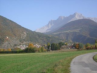
Montmaur is a commune in the Hautes-Alpes department in southeastern France.

Montrond is a commune in the Hautes-Alpes department in southeastern France.

Rochebrune is a commune in the Hautes-Alpes department in southeastern France.
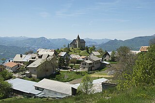
Saint-Apollinaire is a commune in the Hautes-Alpes department in southeastern France.

Sainte-Colombe is a commune in the Hautes-Alpes department in southeastern France. It is surrounded by mountains.
Sorbiers is a commune in the Hautes-Alpes department in southeastern France.
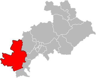
The canton of Serres is an administrative division in southeastern France. At the French canton reorganisation which came into effect in March 2015, the canton was expanded from 12 to 41 communes :


