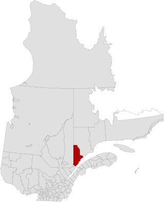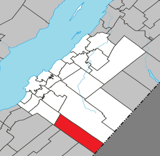
Portneuf is a regional county municipality (RCM) in the Capitale-Nationale administrative region of Quebec, Canada. RCM of Portneuf has been established on January 1, 1982. It is composed of 21 municipalities: nine cities, seven municipalities, two parishes and three unorganized territories. The county seat is located in Cap-Santé.

Brome-Missisquoi is a regional county municipality in the Estrie region of Quebec, Canada. It lies in the Eastern Townships area. The seat is Cowansville. In 2021, it was transferred to the Estrie region from Montérégie.

La Haute-Côte-Nord is a regional county municipality in northeastern Quebec, Canada, in the Côte-Nord region. It is located on the Gulf of Saint Lawrence where the Saguenay River flows into it. The seat is Les Escoumins. The municipality has a land area of 11,612.68 square kilometres (4,483.68 sq mi) and its population was 10,846 inhabitants as of the 2016 census. Its largest community is the city of Forestville.

La Jacques-Cartier is a regional county municipality in the Capitale-Nationale region of Quebec, Canada. The seat is in Shannon. It is named after the Jacques-Cartier River which runs through it and takes its source in its upper country.

Les Jardins-de-Napierville(English: The Gardens of Napierville) is a regional county municipality (French: Municipalité régionale de comté ) in southwestern Quebec, Canada in the Montérégie region. Founded on January 1, 1982. Its seat is Napierville.

L'Île-d'Orléans is a regional county municipality in central Quebec, Canada, in the Capitale-Nationale region. Its seat is Sainte-Famille-de-l'Île-d'Orléans. The population in the 2016 census was 7,082 people.

Minganie is a regional county municipality in the Côte-Nord region of Quebec, Canada. It includes Anticosti Island. Its seat is Havre-Saint-Pierre.

Gros-Mécatina is a municipality on the Lower North Shore of the Gulf of Saint Lawrence, near the border with Labrador in Quebec, Canada. Located near crab, lobster, and scallop fishing grounds, it is dependent on the fishing business, including a fish processing factory that contributes to regional economic activity.

Les Lacs-du-Témiscamingue is a large unorganized territory in the Abitibi-Témiscamingue region of Quebec, Canada. With a total area of 12,224.27 square kilometres (4,719.82 sq mi), it takes up over 60% of the eastern portion of the Témiscamingue Regional County Municipality.

Laniel is an unorganized territory in the Témiscamingue Regional County Municipality, Abitibi-Témiscamingue region, Quebec, Canada. It surrounds the northern portion of Lake Kipawa.

Rivière-Ojima is an unorganized territory in the Abitibi-Témiscamingue region of Quebec, Canada. It consists of two non-contiguous areas in the Abitibi-Ouest Regional County Municipality, separated by the municipality of Authier-Nord. The hamlets of Languedoc and Saint-Eugène-de-Chazel are located within its boundaries.

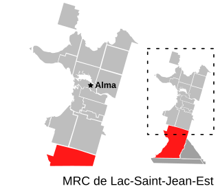
Belle-Rivière is an unorganized territory in the Canadian province of Quebec, located in the regional county municipality of Lac-Saint-Jean-Est. It had a population of 10 in the Canada 2021 Census, and covered a land area of 608.47 km2. The Métabetchouane River forms its western boundary.

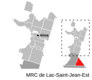
Lac-Achouakan is an unorganized territory in the Canadian province of Quebec, located in the regional county municipality of Lac-Saint-Jean-Est. It had a population of zero in the Canada 2006 Census, and covered a land area of 227.35 km2, entirely within the Laurentides Wildlife Reserve. The western boundary of the territory is Bark River, while Quebec Route 169 forms the eastern boundary.

Sagard is an unorganized territory and hamlet in the Capitale-Nationale region of Quebec, Canada, part of the Charlevoix-Est Regional County Municipality. The hamlet of Sagard is located on the eastern banks of the Little Saguenay River, along Route 170 between Saint-Siméon and Petit-Saguenay.
Rivière-Nipissis is an unorganized territory in the Côte-Nord region of Quebec, Canada, part of the Sept-Rivières Regional County Municipality.
Lac-Jérôme is an unorganized territory in the Côte-Nord region of Quebec, Canada, part of the Minganie Regional County Municipality. It is named after Lake Jérôme, a small lake on the Mingan River. The Manitou River originates in Lac-Jérôme in Lake Caobus.

Le Golfe-du-Saint-Laurent is a regional county municipality in the Côte-Nord region of far-eastern Quebec, Canada. It includes all communities along the Gulf of Saint Lawrence between the Natashquan River and the Newfoundland and Labrador border.

Rivière-Bonjour is an unorganized territory in the Bas-Saint-Laurent region of Quebec, Canada. A large part of the territory is part of the Matane Wildlife Reserve.

Petit-Lac-Sainte-Anne is an unorganized territory in the Canadian province of Quebec, located in the Kamouraska Regional County Municipality.
The Little Mécatina River is a major river in the Côte-Nord region of the provinces of Labrador and Quebec, Canada. Studies have been made to exploit the hydroelectric potential of the river, which could be around 1,200 MW from three dams. The Little Mécatina River was driven first with kayaks by Rolf Theiß and Fritz Gottensrtöter from Guetersloh, Germany.


