Monticello Municipal Airport, also known as Ellis Field, is a public-use airport located two nautical miles east of the central business district of Monticello, in Drew County, Arkansas, United States. It is owned by the City of Monticello.

Marion County Regional Airport is a county-owned public-use airport in Marion County, Arkansas, United States. It is located one nautical mile north of the central business district of Flippin, Arkansas.

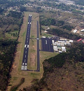
Clarksville Municipal Airport is a public-use airport located three nautical miles east of the central business district of Clarksville, in Johnson County, Arkansas, United States. It is owned by the City of Clarksville.

Carroll County Airport is a county-owned, public-use airport in Carroll County, Arkansas, United States. It is located three nautical miles (6 km) west of the central business district of Berryville, Arkansas. This airport is included in the National Plan of Integrated Airport Systems for 2011–2015, which categorized it as a general aviation facility.

Dexter B. Florence Memorial Field is a city-owned public-use airport located one nautical mile south of the central business district of Arkadelphia, a city in Clark County, Arkansas, United States.
Kirk Field is a city-owned public-use airport located one nautical mile northwest of the central business district of Paragould, in Greene County, Arkansas, United States.
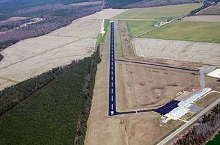
Z. M. Jack Stell Field is a city-owned public-use airport located five nautical miles northeast of the central business district of Crossett, in Ashley County, Arkansas, United States.

Blytheville Municipal Airport is a public use airport located three nautical miles east of the central business district of Blytheville, in Mississippi County, Arkansas, United States. It is owned by the City of Blytheville.
J. Lynn Helms Sevier County Airport is a county-owned public-use airport in Sevier County, Arkansas, United States. It is located three nautical miles west of the central business district of De Queen, Arkansas. The airport is named for J. Lynn Helms, who was Administrator of the Federal Aviation Administration under U.S. President Ronald Reagan. Helms was born in De Queen.

Sharp County Regional Airport is a public-use airport in Sharp County, Arkansas, United States. It is located three nautical miles northeast of the central business district of Ash Flat, Arkansas. The airport is owned by the Sharp County Regional Airport Authority.
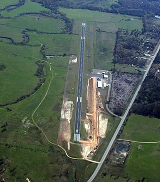
Heber Springs Municipal Airport is a public-use airport located 2 nautical miles (3.7 km) northeast of the central business district of Heber Springs, in Cleburne County, Arkansas, United States. It is owned by the City of Heber Springs.
Morrilton Municipal Airport is a public use airport located two nautical miles southeast of the central business district of Morrilton, in Conway County, Arkansas, United States. It is owned by the City of Morrilton.
Woodruff County Airport is a county-owned public-use airport in Woodruff County, Arkansas, United States. It is located four nautical miles east of the central business district of Augusta, Arkansas.
Warren Municipal Airport is a city-owned, public-use airport located three nautical miles (6 km) south of the central business district of Warren, a city in Bradley County, Arkansas, United States. It is included in the National Plan of Integrated Airport Systems for 2011–2015, which categorized it as a general aviation facility.
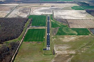
Paris Municipal Airport is an airport in Logan County, Arkansas, United States. It is owned by the city of Paris, Arkansas and located two nautical miles (4 km) east of its central business district. The airport is also west of Subiaco, Arkansas. It is included in the National Plan of Integrated Airport Systems for 2011–2015, which categorized it as a general aviation facility.
Osceola Municipal Airport is a city-owned, public-use airport located two nautical miles (4 km) southwest of the central business district of Osceola, a city in Mississippi County, Arkansas, United States. It is included in the National Plan of Integrated Airport Systems for 2011–2015, which categorized it as a general aviation facility.
Searcy County Airport is a county-owned, public-use airport in Searcy County, Arkansas, United States. It is located one nautical mile (2 km) southwest of the central business district of Marshall, Arkansas. This airport is included in the National Plan of Integrated Airport Systems for 2011–2015, which categorized it as a general aviation facility.

Calico Rock–Izard County Airport is a public use airport located three nautical miles (6 km) northwest of the central business district of Calico Rock, a city in Izard County, Arkansas, United States. The airport is owned by the Arkansas Department of Correction and situated adjacent to its North Central Unit prison.

Corning Municipal Airport is a city-owned, public-use airport located three nautical miles (6 km) west of the central business district of Corning, a city in Clay County, Arkansas, United States. It is included in the National Plan of Integrated Airport Systems for 2011–2015, which categorized it as a general aviation facility.

Marianna/Lee County Airport, also known as Steve Edwards Field, is a public use airport in Lee County, Arkansas, United States. It is owned by the City of Marianna and located three nautical miles (6 km) west of its central business district. This airport is included in the National Plan of Integrated Airport Systems for 2011–2015, which categorized it as a general aviation facility.

