Presquille, Louisiana | |
|---|---|
 Presquille, Louisiana  Presquille, Louisiana | |
| Coordinates: 29°33′50″N90°38′46″W / 29.56389°N 90.64611°W | |
| Country | United States |
| State | Louisiana |
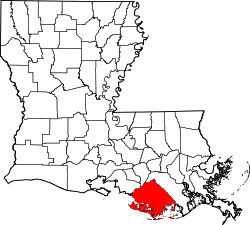
| Parish | Terrebonne |
| Area | |
• Total | 0.78 sq mi (2.03 km2) |
| • Land | 0.78 sq mi (2.03 km2) |
| • Water | 0 sq mi (0.00 km2) |
| Elevation | 10 ft (3.0 m) |
| Population (2020) | |
• Total | 1,703 |
| • Density | 2,175.9/sq mi (840.12/km2) |
| Time zone | UTC-6 (Central (CST)) |
| • Summer (DST) | UTC-5 (CDT) |
| Area code | 985 |
| GNIS feature ID | 541169 [2] |
Presquille is an unincorporated community and census-designated place in Terrebonne Parish, Louisiana, United States. Its population was 1,807 as of the 2010 census. [3] Louisiana Highway 24 passes through the community.