Theriot, Louisiana | |
|---|---|
 Theriot, Louisiana  Theriot, Louisiana | |
| Coordinates: 29°27′41″N90°45′05″W / 29.46139°N 90.75139°W | |
| Country | United States |
| State | Louisiana |
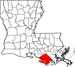
| Parish | Terrebonne |
| Elevation | 3 ft (0.91 m) |
| Time zone | UTC-6 (Central (CST)) |
| • Summer (DST) | UTC-5 (CDT) |
| ZIP code | 70397 |
| Area code | 985 |
| GNIS feature ID | 556229 [1] |
Theriot (also Bayou du Large) is an unincorporated community in Terrebonne Parish, Louisiana, United States. [1] Its ZIP code is 70397. [2]