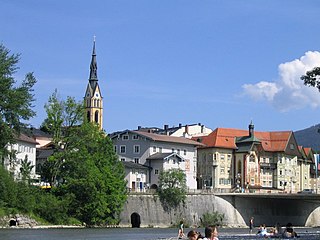
Bad Tölz is a town in Bavaria, Germany and the administrative center of the Bad Tölz-Wolfratshausen district.

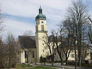
Kochel am See is a municipality and a town in the district of Bad Tölz-Wolfratshausen in Bavaria, on the shores of Kochelsee. The municipality consists of the districts Altjoch, Brunnenbach, Ort, Pessenbach, Pfisterberg, Walchensee and Ried.

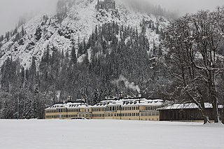
Ramsau is a German municipality in the Bavarian Alps with a population of around 1,800. It is located on the Königssee in the district of Berchtesgadener Land in Bavaria, close to the border with Austria, 35 km south of Salzburg and 150 km south-east of Munich. It is situated north of the Berchtesgaden National Park.

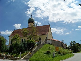
Ainring is a municipality in the district of Berchtesgadener Land, Upper Bavaria, Germany, near the border to Austria.

Feldkirchen-Westerham is a municipality in the district of Rosenheim, in Bavaria, Germany. It is situated 22 km west of Rosenheim.

Wassertrüdingen is a town in the district of Ansbach, Middle Franconia, Bavaria, Germany. It is between the Hesselberg, the only Franconian mountain with a view on the Alps, the wooded heights of the Oettinger Forest and the foothills of the Hahnenkamm. The Fränkisches Seenland recreation area is 15 kilometers away. Altentrüdingen, Fürnheim, Geilsheim, Obermögersheim, Reichenbach und Schobdach are part of Wassertrüdingen

Lenggries is a municipality and a town in Bavaria, Germany. It is the center of the Isarwinkel, the region along the Isar between Bad Tölz and Wallgau. The town has about 9,500 inhabitants. By area, it is the largest rural municipality ("Gemeinde") in what was formerly West Germany, and the 7th-largest overall.

Petershausen is a municipality in the district of Dachau in Bavaria in Germany.
Spiegelau is a municipality in the district of Freyung-Grafenau in Bavaria in Germany. It lies in the heart of the Bavarian Forest.

Oberau is a municipality in the district of Garmisch-Partenkirchen, in Bavaria, Germany.
Kreuth is a municipality in the district of Miesbach in Bavaria in Germany.

Ampfing is a municipality in the district of Mühldorf in Bavaria in Germany.

Bodenmais is a municipality in the district of Regen in Bavaria in Germany. It lies at one end of the Zeller Valley in the Bavarian Forest.

Teisnach is a larger municipality in the district of Regen in Bavaria in Germany.

Mitterfels is a municipality in the district of Straubing-Bogen in Bavaria, Germany. It is the head of the Verwaltungsgemeinschaft Mitterfels.

Fürstenzell is a municipality in the district of Passau in Bavaria in Germany. Fürstenzell is the birthplace of former Bayern Munich defender Klaus Augenthaler.

Obernzell is a municipality in the district of Passau in Bavaria in Germany.

Tittling is a municipality in the district of Passau in Bavaria in Germany.
Haselbach is a municipality in the district of Straubing-Bogen in Bavaria, Germany.

Neukirchen is a municipality in the district of Straubing-Bogen in Bavaria, Germany. It is located in the Donau-Wald region in the Bavarian Forest.


