Hofheim in UnterfrankenGerman pronunciation:[ˈhoːfˌhaɪ̯m] ) is a city located in the district of Haßberge, Unterfranken, Bavaria in Germany.

Neufahrn bei Freising is a municipality in the district of Freising, in Bavaria, Germany. It has about 20,000 inhabitants and is located near the river Isar, 12 km southwest of Freising and 20 km northeast of Munich.
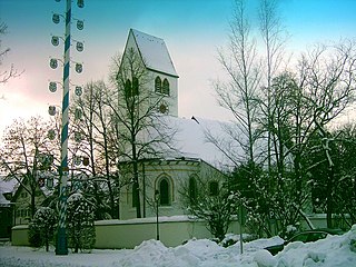
Gräfelfing is a municipality in the district of Munich, in Bavaria, Germany. It is located 1 km west of Munich.
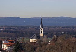
Kirchheim bei München is a municipality in the district of Munich, in Bavaria, Germany. It is located 14 km east of Munich (centre). As of 2023 it has a population of 14,030.
Wertingen is a town in the district of Dillingen in Bavaria, Germany. It is located along the river Zusam in 13 km east of Dillingen, and 28 km northwest of Augsburg. The city is the seat of the municipal association Wertingen.

Colmberg is a municipality in the district of Ansbach in Bavaria in Germany. Colmberg is the site of Colmberg Castle, built in the 13th century and purchased in 1318 by Duke Frederick IV of Nuremberg. The town is located in Nature Park Frankenhöhe.

Miltach is a municipality in the district of Cham, which is located in Bavaria, Germany.

Fischen im Allgäu is a municipality in the district of Oberallgäu in Bavaria in Germany.

Salzweg is a municipality in the district of Passau in Bavaria in Germany. It is located near the German border with Austria.

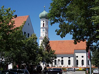
Scheyern is a municipality in the district of Pfaffenhofen in Bavaria in Germany. The Scheyern Abbey is located in Scheyern.

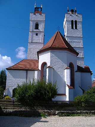
Nittendorf is a municipality in the district of Regensburg in Bavaria in Germany.

Stockheim is a municipality in the district of Rhön-Grabfeld in Bavaria in Germany. It is located in the Streu valley between Ostheim and Mellrichstadt.

Amerang is a municipality and a village in the Rosenheim district in Bavaria, Germany.

Brannenburg is a municipality in the district of Rosenheim in Bavaria in Germany. There is a railway station located in Brannenburg.
Nußdorf is a municipality in the district of Traunstein in Bavaria in Germany. Its located in oberbayern

Hiltenfingen is a municipality in the district of Augsburg in Bavaria in Germany. It is part of the administrative region of Swabia and of the Verwaltungsgemeinschaft of Langerringen.

Langweid am Lech is a municipality and a village in the district of Augsburg in Bavaria, Germany.

Sulzfeld is a municipality in the district of Rhön-Grabfeld in Bavaria in Germany. It contains the following villages: Kleinbardorf, Leinach, Sulzfeld, Sulzfelder Forst. The large regional Jewish cemetery, Jewish Cemetery (Kleinbardorf) is also located in the municipality.

Mariaposching is a municipality in the district of Straubing-Bogen in Bavaria, Germany. It is a member of the municipal association Schwarzach.

Stetten is a municipality in the district of Unterallgäu in Bavaria, Germany. The town has a municipal association with Dirlewang.