Saint-Victor may refer to:

Verneuil-sur-Avre is a former commune in the Eure department in Normandy in northern France. On 1 January 2017, it was merged into the new commune Verneuil d'Avre et d'Iton.
Évreux Portes de Normandie is the communauté d'agglomération, an intercommunal structure, centred on the city of Évreux. It is located in the Eure department, in the Normandy region, northern France. It was created on 1 January 2017 by the merger of the former Communauté d'agglomération d'Évreux and the Communauté de communes La porte normande. On 1 January 2018 it was expanded with 12 communes from three other intercommunalities. Its area is 659.3 km2. Its population was 110,023 in 2015, of which 46,707 in Évreux proper.

The arrondissement of Bernay is an arrondissement of France in the Eure department in the Normandy region. It has 297 communes. Its population is 227,054 (2016), and its area is 3,226.7 km2 (1,245.8 sq mi).

The arrondissement of Évreux is an arrondissement of France in the Eure department in the Normandy region. It has 103 communes. Its population is 140,039 (2016), and its area is 958.7 km2 (370.2 sq mi).

The arrondissement of Dreux is an arrondissement of France in the Eure-et-Loir department in the Centre-Val de Loire region. It has 108 communes. Its population is 129,414 (2016), and its area is 1,500.5 km2 (579.3 sq mi).
Tillières-sur-Avre is a commune in the Eure department and Normandy region of northern France.

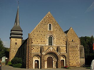
Armentières-sur-Avre is a commune in the Eure department in Normandy in northern France.
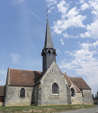
Breux-sur-Avre is a commune in the Eure department in Normandy in northern France.
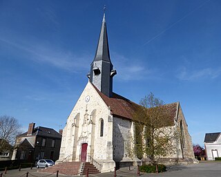
Saint-Christophe-sur-Avre is a commune in the Eure department in Normandy in northern France.
Saint-Germain-sur-Avre is a commune in the Eure department in Normandy in north western France.

Châteauneuf-en-Thymerais is a commune in Eure-et-Loir department in northern France.

Dampierre-sur-Avre is a commune in the Eure-et-Loir department in northern France.

Montigny-sur-Avre is a commune in the Eure-et-Loir department in northern France.

Saint-Lubin-des-Joncherets is a commune in the Eure-et-Loir department in northern France. It is located close to the Avre river and the border with the Eure department.
Saint-Rémy-sur-Avre is a commune in the Eure-et-Loir department in northern France.

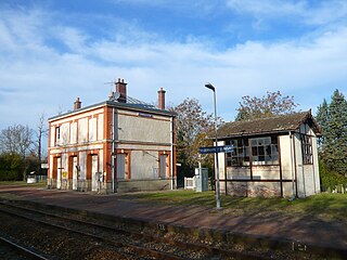
Verneuil d'Avre et d'Iton is a commune in the department of Eure, northern France. The municipality was established on 1 January 2017 by merger of the former communes of Verneuil-sur-Avre and Francheville. Verneuil-sur-Avre station has rail connections to Argentan, Paris and Granville.
The canton of Verneuil d'Avre et d'Iton is an administrative division of the Eure department, northern France. Its borders were modified at the French canton reorganisation which came into effect in March 2015. Its seat is in Verneuil d'Avre et d'Iton.
The canton of Saint-Lubin-des-Joncherets is an administrative division of the Eure-et-Loir department, northern France. It was created at the French canton reorganisation which came into effect in March 2015. Its seat is in Saint-Lubin-des-Joncherets.
Communauté d'agglomération du Pays de Dreux is an intercommunal structure, centred on the city of Dreux. It is located in the Eure-et-Loir and Eure departments, in the Centre-Val de Loire and Normandy regions, northern France. It was created in January 2014. Its seat is in Dreux. Its area is 1055.7 km2. Its population was 115,181 in 2017, of which 31,044 in Dreux proper.


