Salem Township is a civil township of Allegan County in the U.S. state of Michigan. The population was 5,156 at the 2020 census, up from 3,486 at the 2000 census.

Green Township is a civil township of Alpena County in the U.S. state of Michigan. The population was 1,228 at the 2010 census.
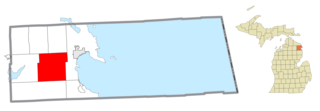
Wilson Township is a civil township of Alpena County in the U.S. state of Michigan. The population was 2,029 at the 2010 census.

Hagar Township is a civil township of Berrien County in the U.S. state of Michigan. As of the 2010 census, the township population was 3,671.
Newton Township is a civil township of Calhoun County in the U.S. state of Michigan. The population was 2,551 at the 2010 census. The township was named after Newton, Massachusetts.
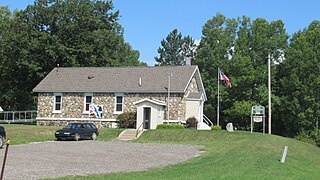
Frost Township is a civil township of Clare County in the U.S. state of Michigan. The population was 1,038 at the 2020 census.
Dryden Township is a civil township in Lapeer County in the U.S. state of Michigan, named in honor of the literary critic, John Dryden. The population was 4,768 at the 2010 census. The village of Dryden is located within the township.

Conway Township is a civil township of Livingston County in the U.S. state of Michigan. The population was 3,546 at the 2010 census, an increase of 814 from the 2000 census.

Armada Township is a civil township of Macomb County in the U.S. state of Michigan. As of the 2020 census, the township population was 5,318.

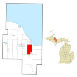
Chocolay Township is a charter township in Marquette County in the U.S. state of Michigan. The population was 5,899 at the 2020 census. The township is named for the Chocolay River and is located on the shore of Lake Superior.

Harvey is a census-designated place (CDP) in Marquette County in the U.S. state of Michigan. The population was 3,244 as of the 2020 census, up from 1,393 in 2010, before the CDP was enlarged by the Census Bureau. The CDP is located within Chocolay and Sands townships.

Muskegon Heights is a city in Muskegon County in the U.S. state of Michigan. The population was 9,985 at the 2020 census.
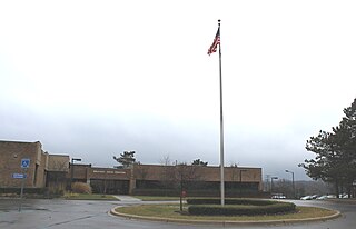
Milford Township is a charter township of Oakland County in the U.S. state of Michigan. The population was 15,736 at the 2010 census. The village of Milford is located within the township.
Shelby is a civil township of Oceana County in the U.S. state of Michigan. The population was 3,951 at the 2000 census. The village of Shelby is located within the township.
Holland Charter Township is a charter township of Ottawa County in the U.S. state of Michigan. The population was at the 35,636 2010 census. As of the 2017 Census estimates, the population stood at 37,979.
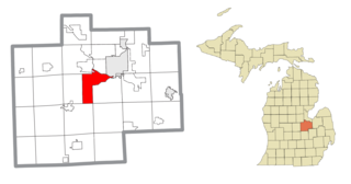
James Township is a civil township of Saginaw County in the U.S. state of Michigan. The population was 2,023 at the 2010 Census.
Argyle Township is a civil township of Sanilac County in the U.S. state of Michigan. As of the 2020 census, the township population was 687. Argyle Township was organized in 1872.

Grant Township is a civil township of St. Clair County in the U.S. state of Michigan. As of the 2010 Census, the township population was 1,891.

Greene Township is a township in Erie County, Pennsylvania, United States. The population was 4,487 at the 2020, down from 4,706 at the 2010 census.

Spring Brook Township is a township in Lackawanna County, Pennsylvania, United States. The population was 2,753 at the 2020 census.
